Grenoble - La Bastille Orienteering trail Rando - trail
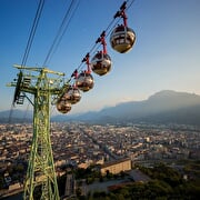
Bastille cable car route Grenoble
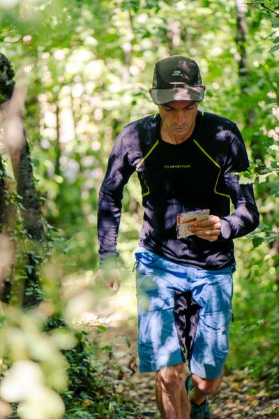
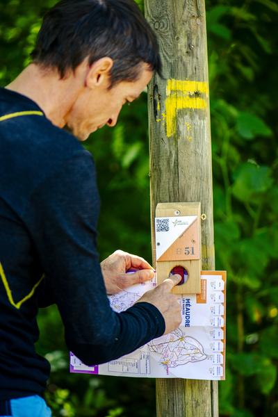
Print the map and set off on the trails of the Bastille for an orienteering course made up of 7 markers.
Apprentice guidance counselors, it's up to you!
A "rando-trail" route for the more sporty, with a loop starting from the bottom station of the cable car: 5 km - 10 markers and 300 m of ascent.
Route details
Opening
All year round daily.
Informations to download
Discover more



Go there
Latitude : 45.193001
Longitude : 5.726103
Départ : gare basse du téléphérique
38000 Grenoble
Go there
Information updated on 15/06/2026
by Office de Tourisme Grenoble Alpes