Grenoble - La Bastille Fun orienteering course

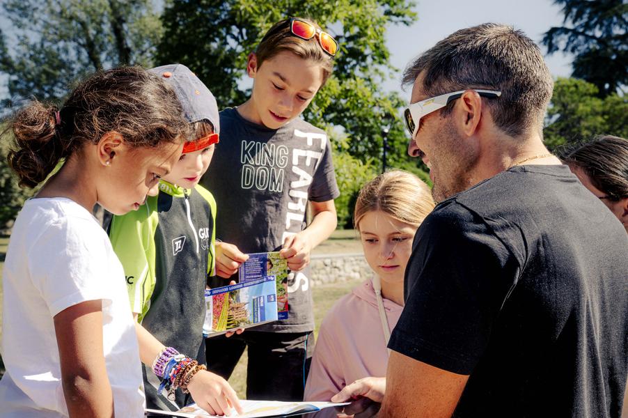
Use your map to find the markers and explore the Bastille site!
Loop route from the top station of the cable car
Ideal for discovering orienteering with the whole family
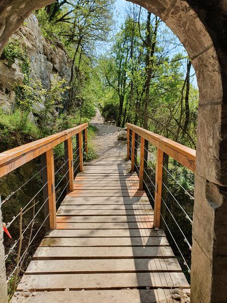
A "fun" trail starting near the upper station of the cable car, passing through Mandrin's cave and onto the glacis.
A 1.5 km trail with 12 signposts and quizzes on the history of the site, the legend of Mandrin, and the flora and fauna of the Bastille.
Route details
Pets welcome
Opening
All year round daily.
Informations to download
Discover more



Go there
Latitude : 45.19859
Longitude : 5.725564
Départ : gare haute du téléphérique
38000 Grenoble
Go there
Recommended access via cable car
Information updated on 15/06/2026
by Office de Tourisme Grenoble Alpes