La Luzerne - N°46 - Green - Mountain Bike

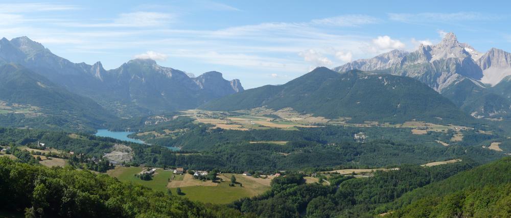
A predominantly rolling route that runs between the forest slope and the agricultural plateau.
The route follows a steady ascent, a low-slope crossing partly under forest cover, a descent, a short section of road, then a return by a slightly uphill agricultural path.
Route details
Pets welcome
-
Free car park,
-
Car park
Opening
All year round daily.
Informations to download
Discover more

Go there
Latitude : 44.79726
Longitude : 5.907894
Height : 923
38970 Pellafol
Go there
Point de départ : parking de l'église l'Assomption aux Payas.
Information updated on 12/10/2026
by Matheysine Tourisme