


Trail - KV Venosc
Initiation to KV with the steep slopes of Venosc.
Dist. : 3,2km
Déniv. + : 690m
Alt. max : 1620m
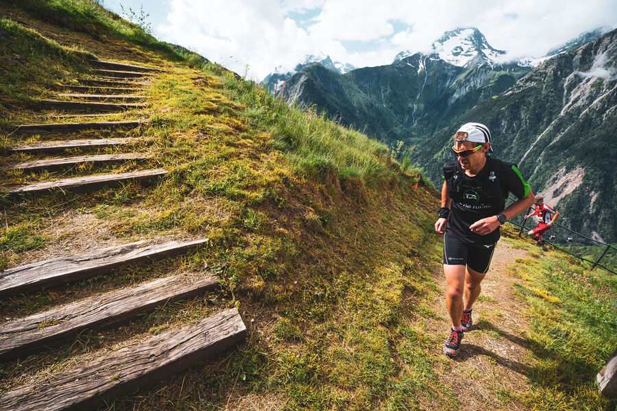
The Vertical Kilometre (KV) is a demanding discipline and the climb from the village of Venosc to the resort is a great classic. Steep slopes where running is rare: you have to be able to walk fast!
Route details
Informations to download
Go there
Latitude : 44.987258
Longitude : 6.115933
Go there
Départ : Venosc (TC Venosc aval)
Arrivée : Alpe Venosc (TC Venosc amont)
Information updated on 16/07/2024
by Office de Tourisme des 2 Alpes