

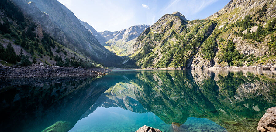
Trail - Le Lauvitel
The trail to the hiker's paradise.
Please note: this site is located in the heart of a French National Park and is subject to specific regulations. This is an exceptional area, and as such is subject to specific regulations. We invite you to adopt the right reflexes when you come to protect these treasures.
Dist. 12.8km
Vertical drop +: 740m
Max. altitude: 1530m
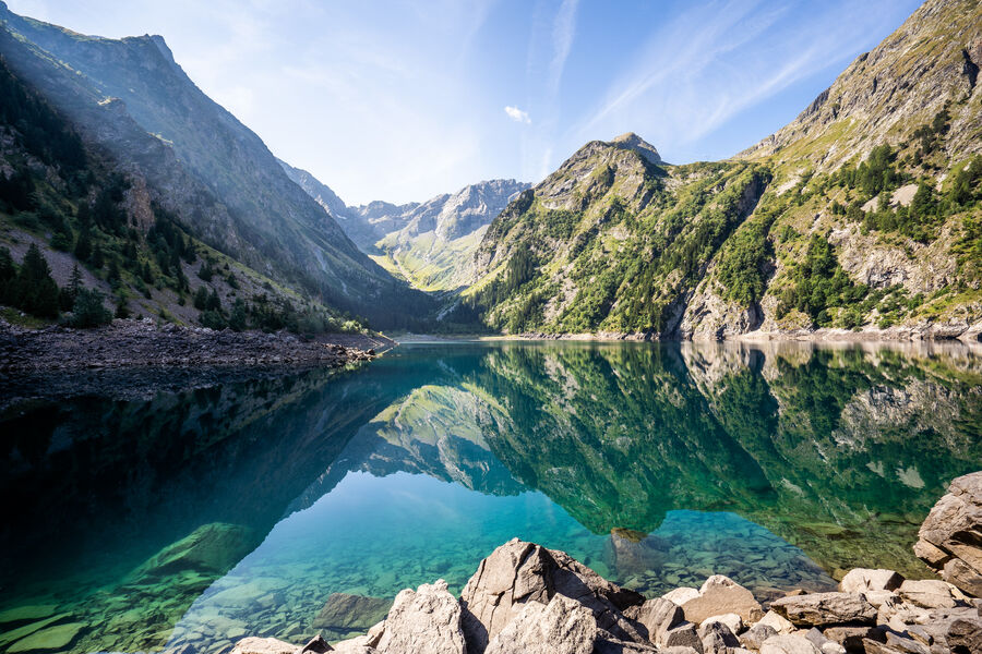
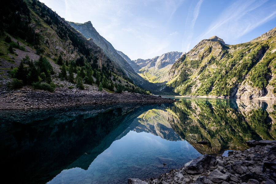
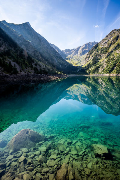
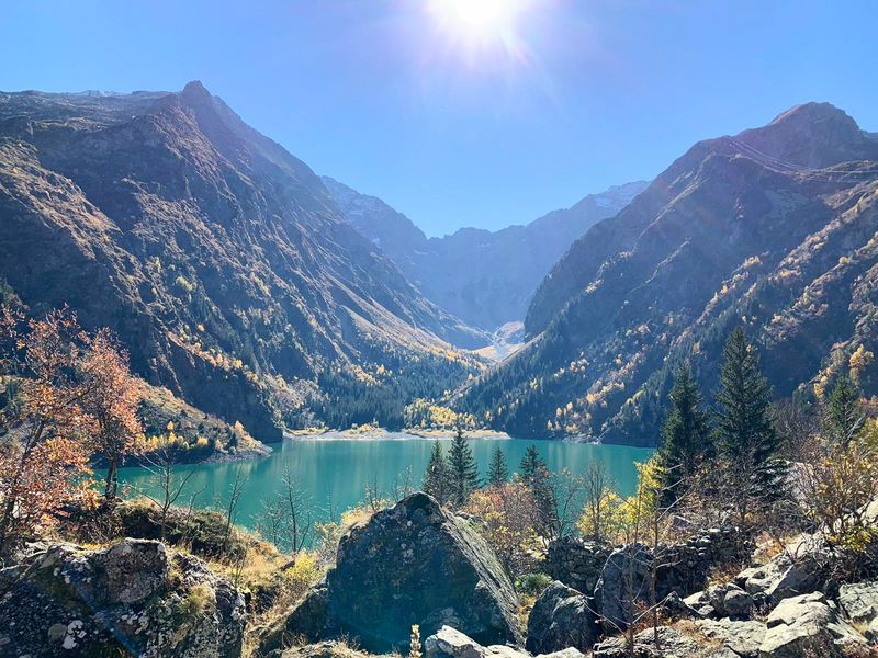
The Lauvitel is a lake of great renown, and for good reason! 35 hectares in the heart of immense relief, with marvellous sparkles... It's a wonderful gift after a short but difficult climb. Please be aware of the rules of the Ecrins National Park!
Route details
Informations to download
Go there
Latitude : 44.987446
Longitude : 6.116043
Go there
Départ : Venosc (TC Venosc aval)
Arrivée : Venosc (TC Venosc aval)
Information updated on 24/05/2026
by Office de Tourisme des 2 Alpes