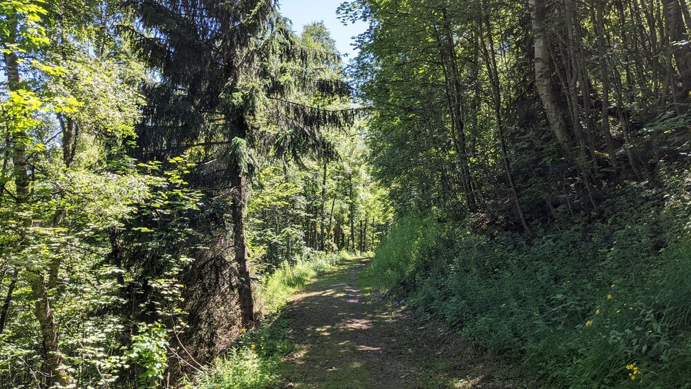


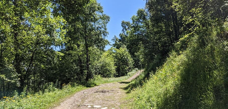
Trail - La Molière
A rolling course for a gentle introduction to the difference in altitude.
Dist. : 5,3km
Déniv. + : 180m
Alt. max : 1660m
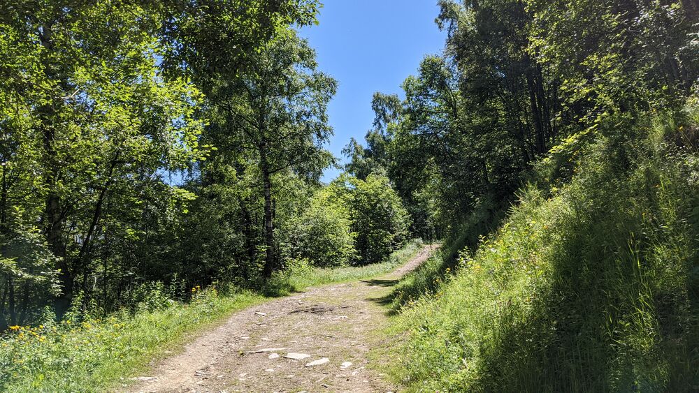
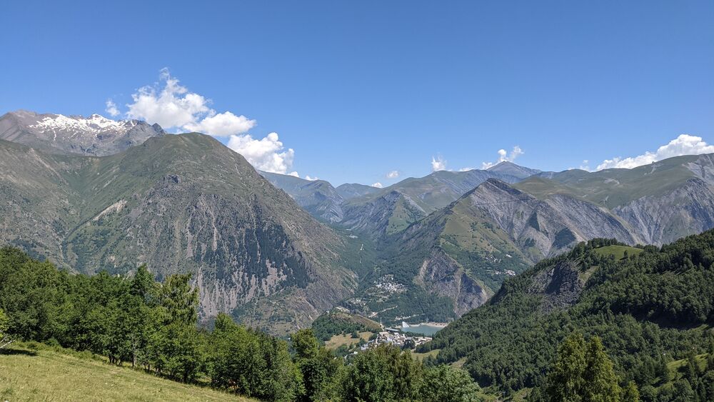
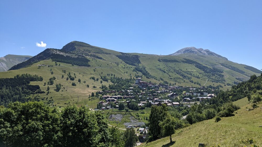
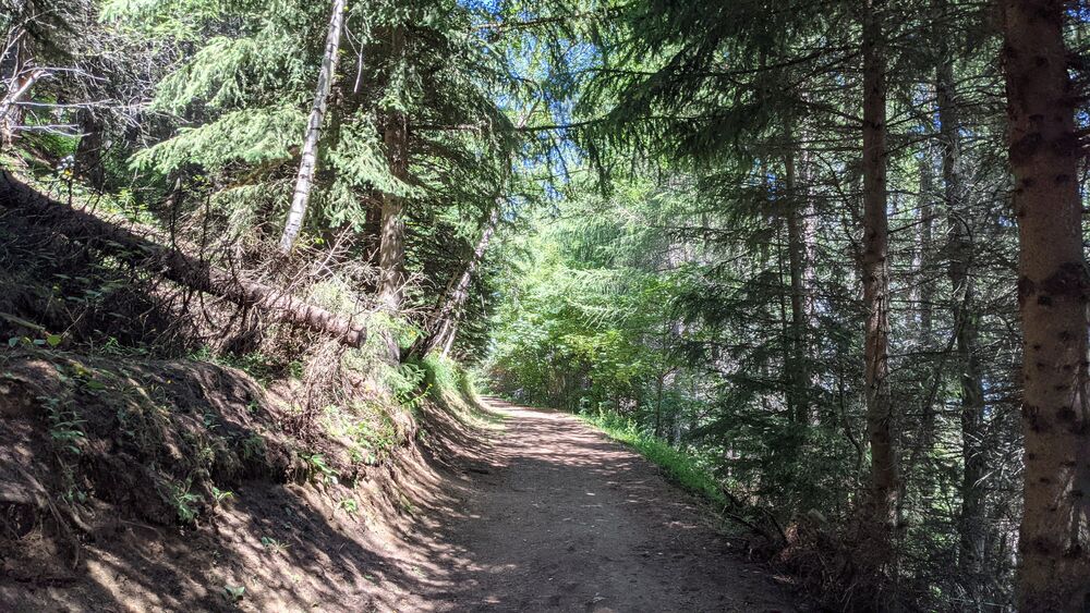
La Molière is the itinerary with the least difference in altitude per kilometre. But it is not flat! A good way to discover the trail, to get into shape or to pace yourself. Bonus: a good part of it is in the forest to keep cool in summer.
Route details
Informations to download
Go there
Latitude : 45.018245
Longitude : 6.124111
Go there
Départ : Vallée Blanche (TS Vallée Blanche aval)
Arrivée : Vallée Blanche (TS Vallée Blanche aval)
Information updated on 24/05/2022
by Office de Tourisme des 2 Alpes