

Trail - Cascade de la Muzelle
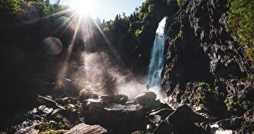
Initiation to the steep slopes of the Ecrins towards the waterfall.
Dist. : 2,4km
Déniv. + : 170m
Alt. max : 1050m
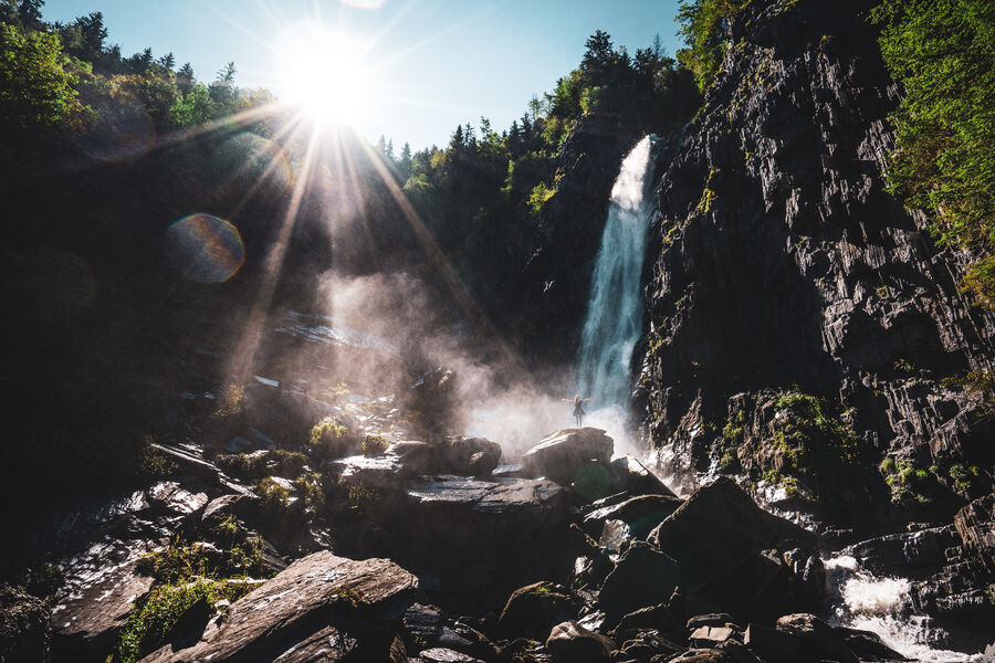
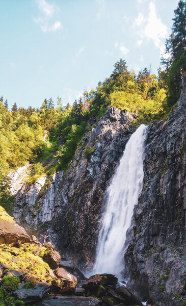
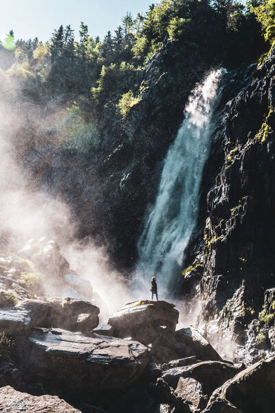
For an introduction to steep slopes and an exceptional reward, go to the Muzelle waterfall! A short climb of 400m on a steep slope to discover the trails of the Ecrins before a majestic waterfall.
Route details
Informations to download
Go there
Latitude : 44.987476
Longitude : 6.115957
Go there
Départ : Venosc (TC Venosc aval)
Arrivée : Venosc (TC Venosc aval)
Information updated on 30/07/2024
by Office de Tourisme des 2 Alpes