

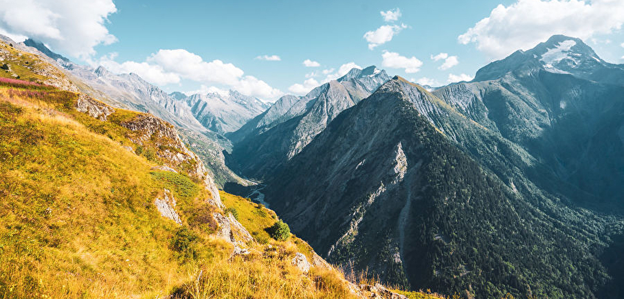
Trail - Diable Rouge
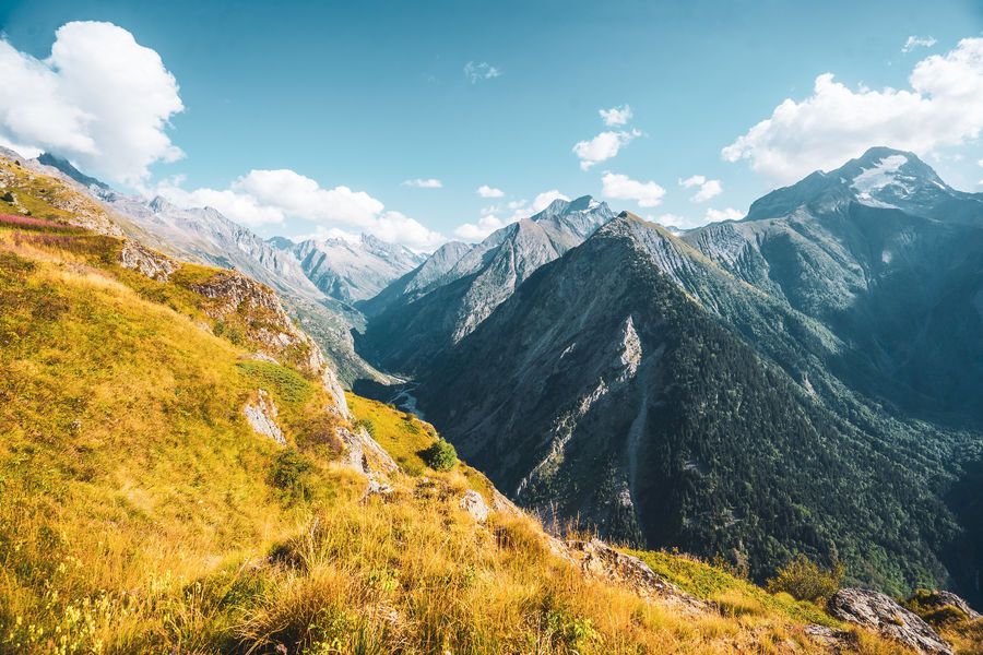
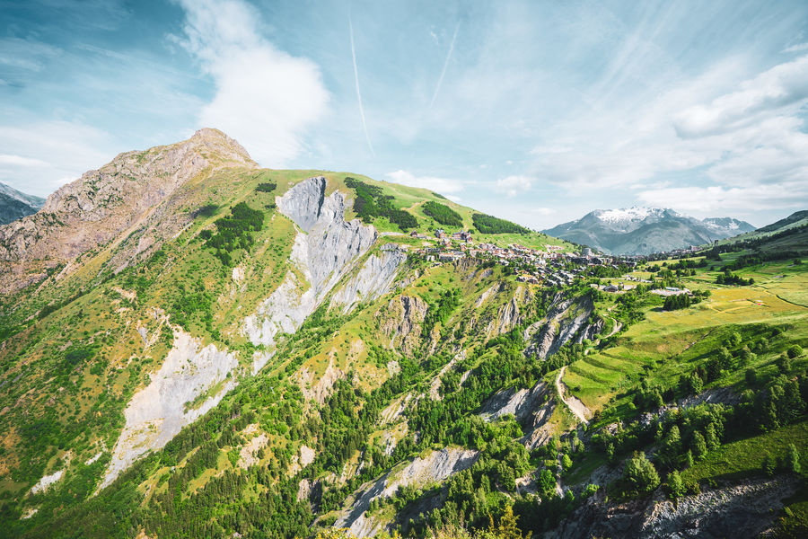
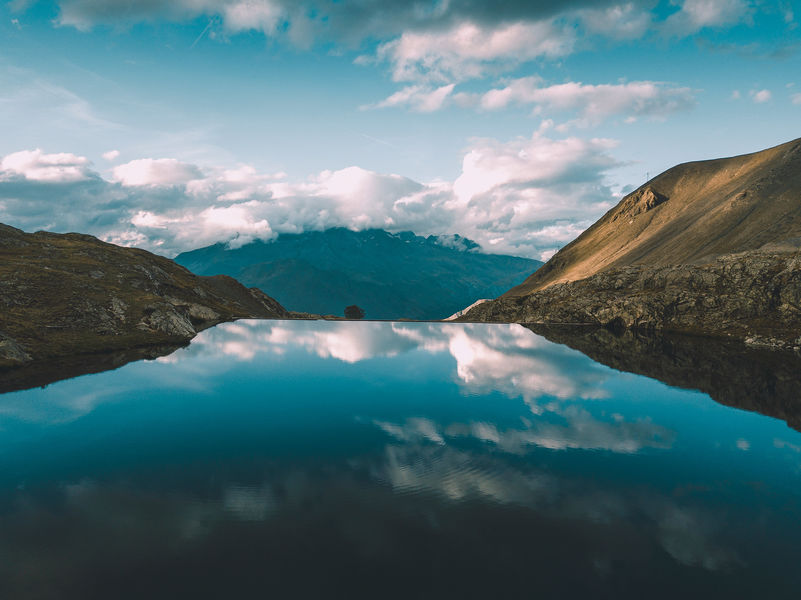
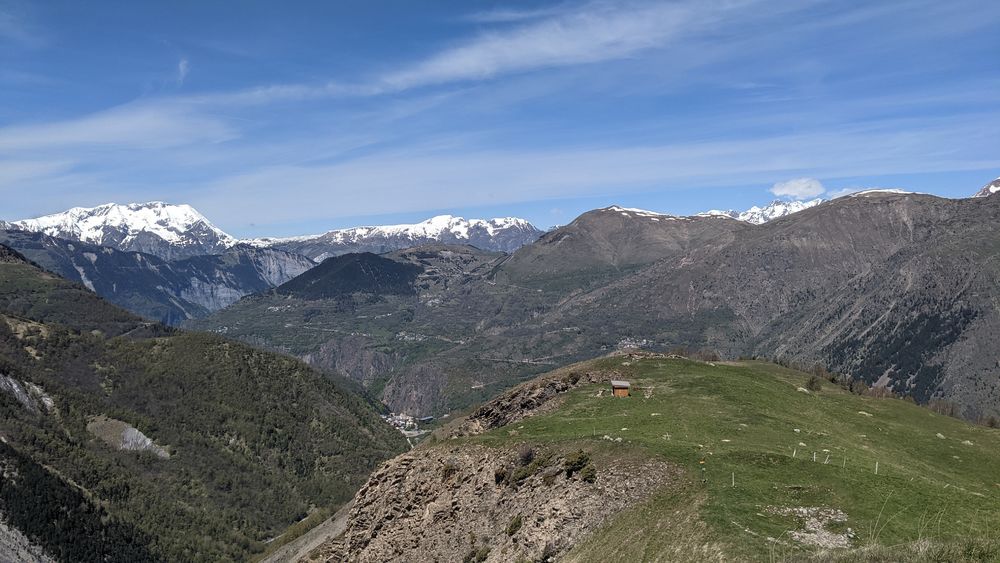
A journey of contrast between Diable and the Fee.
Dist. : 19,2km
Déniv. + : 1310m
Alt. max : 2410m
The red Diable is an itinerary full of contraste. An excellente route to spent a good day in the mountains. This is also the equivalent of the second part of the race " The Muzelle challenge", as the : From Diable to the Fee.
Route details
Informations to download
Go there
Latitude : 45.00233
Longitude : 6.125634
Go there
Départ : Perrons (parking des banchets)
Arrivée : Jandri (centre station)
Information updated on 30/01/2025
by Office de Tourisme des 2 Alpes