

Trail - Diable Bleu
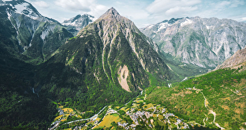
Nice climb to get a good view!
Dist. : 10,8km
Déniv. + : 810m
Alt. max : 2410m
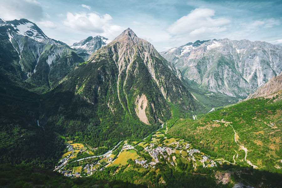
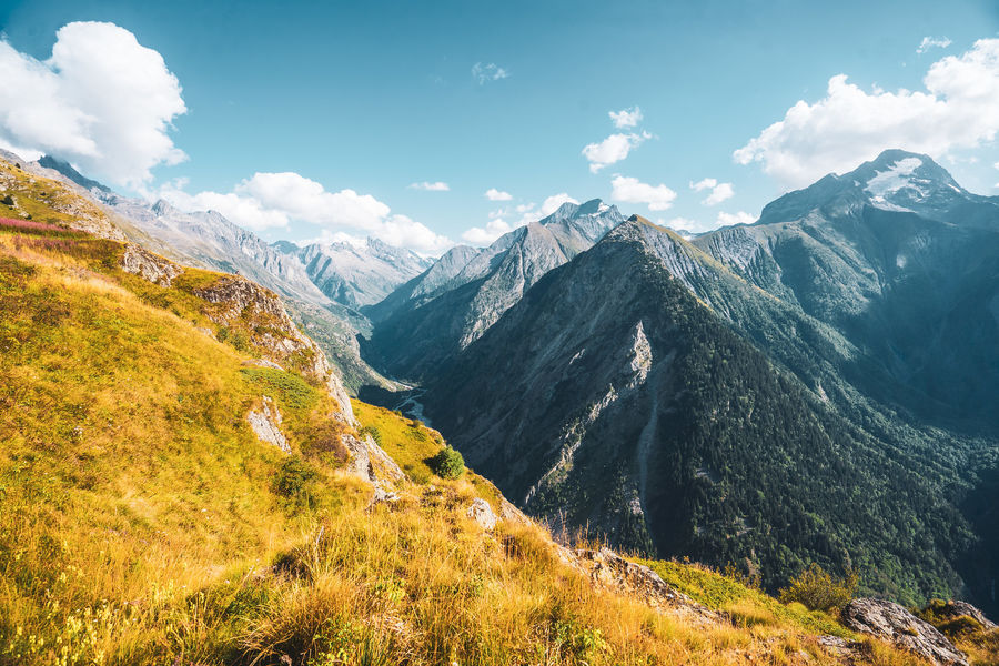
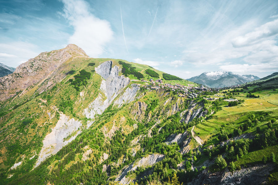
The Diable bleu course is ideal for a varied , wild and beautiful climb with exceptional panoramas. Up to 2400 altitude it is a mythical course of the 2 Alpes.
Route details
Informations to download
Go there
Latitude : 45.00233
Longitude : 6.125634
Go there
Départ : Perrons (parking des banchets)
Arrivée : Jandri (centre station)
Information updated on 30/01/2025
by Office de Tourisme des 2 Alpes