The Clariant loop: from pastureland to fairway - from Villard-de-Lans

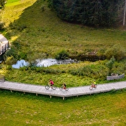
From Villard de Lans, the Via Vercors cycle path takes you to Corrençon via the Cote 2000 ski resort and the remarkable hamlet of Les Pouteils. All the way, you'll admire the fabulous mountains that tower above the resort and the lush green pastures.
Starting at the Colline des Bains luge park, head for the sports college and follow the orange Via Vercors signs towards Le Frier and Le Rojasset. Gather speed here, before tackling the steep path up to Le Rojasset! You’ll find yourself on a picturesque hill with a lovely southern feel. The Arrêtes du Gerbier peaks stand before you. The path continues downhill and passes just below the Cote 2000 ski resort. Cross the main road to reach Les Pouteils, a hamlet of typical architecture. The Via Vercors cycle path continues to the hamlet of Les Bouchards. Stop for a break to enjoy the soothing sight of grazing cows and freshen up at the wooden ponds. Beware, at Les Bouchards, the Via Vercors skirts around the houses before taking a steep downhill slope! Control your speed! The path continues to the hamlet of Les Traverses where you’ll reach a vehicle track as you enter Corrençon. Follow this carefully, staying well on the side and, when you reach Les Maréchaux, cross the road and go left, back towards the village centre. This leads to the village square.
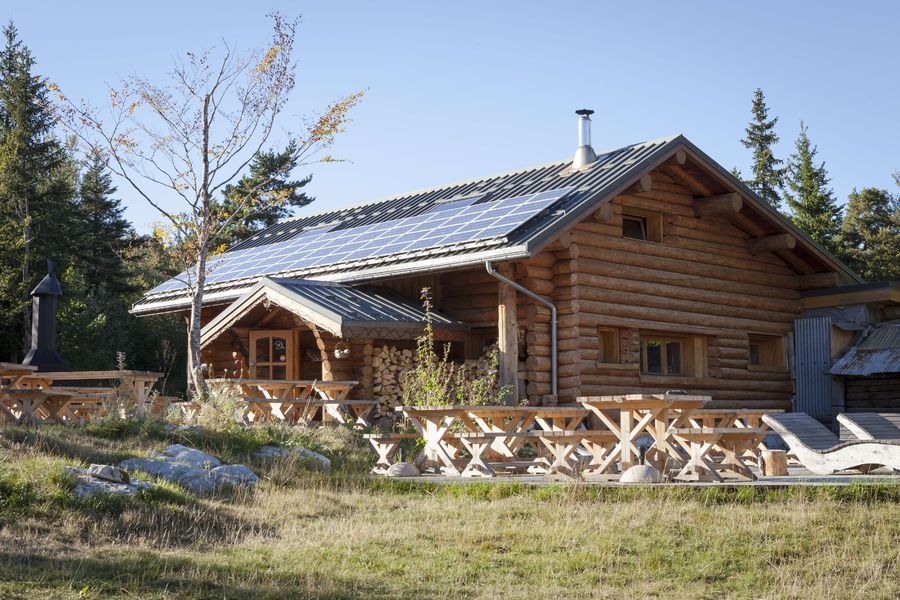
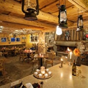
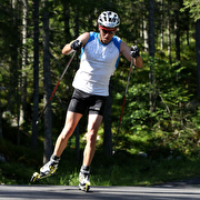
From there, stay on the tarmac road that passes the Grolle restaurant and heads for Les Mengots. At the crossroads in Les Mengots, turn left. This lane leads to the main road up to the golf course. At the golf course, take the wide track marked GR91 and follow it to the Auberge du Clariant. You’ll pass the biathlon firing line before climbing to the Champ de la Bataille gîte. After one more gentle climb you’ll arrive at the Auberge du Clariant, a restaurant in a natural decor forged by the hands of coal workers. Take a gourmet break on the terrace and enjoy the wonderful setting. For the return trip, follow the small track behind the restaurant, down through the woods to the Charmeyenne meadow. From there, turn left onto the track towards Les Eyssarteaux which takes you straight to the golf course. Finally, as an alternative route back to the Tourist Office, from the golf course car park, cross the wide bend to pick up the singletrack path indicated by a GR91 waymarker. This narrow path leads to the village centre via Les Rambins. It crosses fields and passes the Maison des Enfants and another log cabin before ending at Les Jambets. From there, you can turn left onto a small tarmac road that takes you back to the Tourist Office from where you can return to Villard de Lans by retracing the route taken on the outward trip.
Route details
-
Pets welcome,
-
Restaurant
-
Picnic area,
-
Bar,
-
Public WC,
-
Car park,
-
Defibrillator,
-
Parking nearby,
-
Charging stations for electric vehicles,
-
Charging station for 2 electric wheels,
-
Free car park
Opening
From 01/05 to 01/11.
Subject to favorable weather.
More details
Discover more
-
Auberge du Clariant
Place: Corrençon-en-Vercors
-
Guillet Sports - Sport 2000
Place: Corrençon-en-Vercors

-
Le pas de la fenêtre
Place: Corrençon-en-Vercors

-
Corrençon en Vercors Tourist Office
Place: Corrençon-en-Vercors

-
Hôtel du Golf
Place: Corrençon-en-Vercors
Réservable
en ligne
-
Hôtel et Spa Les Clarines
Place: Corrençon-en-Vercors

-
Pistes et stade international de biathlon
Place: Corrençon-en-Vercors
-
La petite route des balades tranquilles
Place: Corrençon-en-Vercors
Elevation 5m

-
Espace Alpin Villard de Lans/Corrençon
Place: Villard-de-Lans

-
ViaVercors
Place: Villard-de-Lans
Elevation 180m
-
Sport Neige - Sport 2000
Place: Villard-de-Lans

-
Borne de recharge SEDI
Place: Corrençon-en-Vercors

Go there
Latitude : 45.065792
Longitude : 5.550799
Height : 1100
38250 Villard-de-Lans
Go there
Starts at Colline des Bains luge park.
Information updated on 18/12/2025
by Isère Attractivité