Trail path discovering Vals du Dauphiné

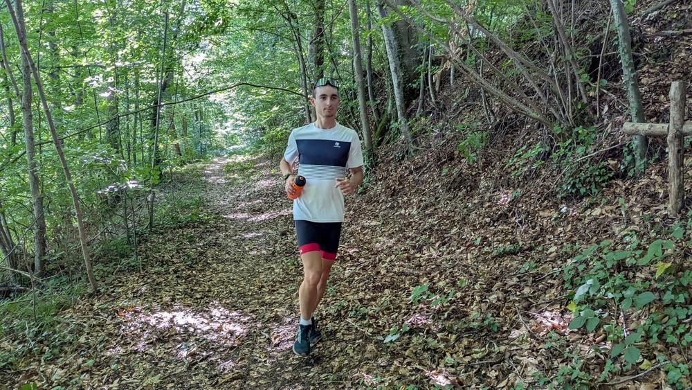
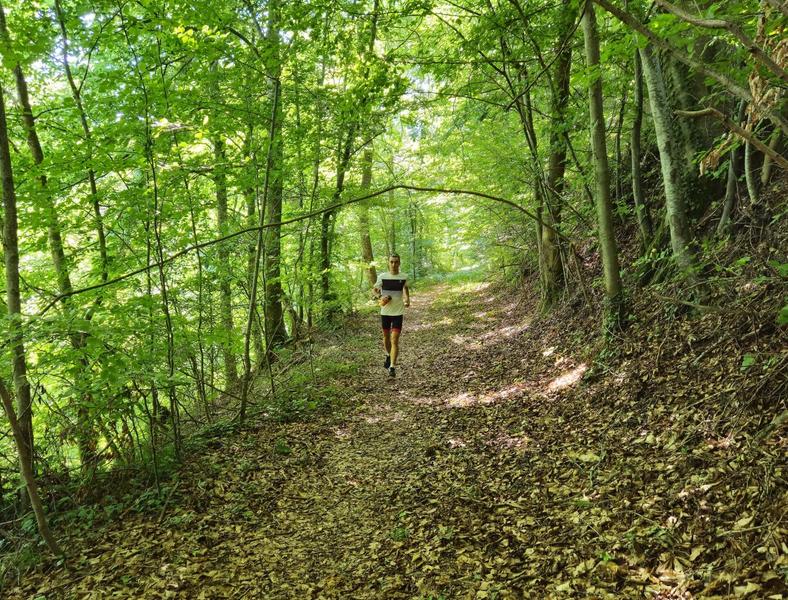
Run through Vals du Dauphiné's countryside, witnessing various panoramas, between forests and casltes views. Follow the specific signs and be prepared for two very steep sections.
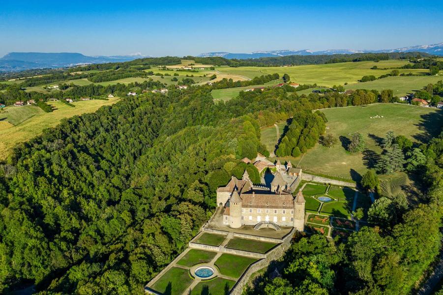
The route begins with a 2 kilometers climb to Château de Virieu (Virieu's caslte). A short road section will then lead you to the plateau for a breathtaking view : panoramic view on the Chartreuse, Belledonne and the Vercors. From kilometer 5, you enter in a forest on beautiful rolling tracks that will lead you to the Château de Pupetières (Pupetières's castle). It is around the 11th kilometer that the challenge comes back with a climb that will also take your breath away! The return to the starting point will be on a steep road.
A variant of 8 kilometers (but with 270 meters of elevation gain) is possible by cutting through the road leading to the hunters' relay (dotted line on the map).
Route details
Opening
All year round daily.
Information updated on 06/07/2026
by Département de l'Isère