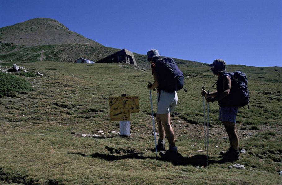
Refuge du Taillefer (coming from la Grenonière - Ornon)

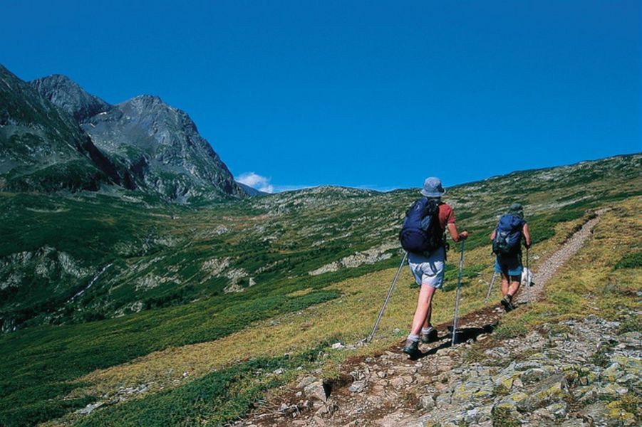
This lovely walk to get you to the refuge takes you through fields with marmottes and sheep in the summer. The trail takes you progressively up the valley, giving you a wonderful panorama of the Oisans mountain range.
TECHNICAL INFORMATION :
Start : La Grenonière car park after Ornon.
Uphill climb : 770m
Time : 2h15 (one way)
Distance : 4 kilometres
Difficulty : Easy
Trail exposure : south east
MAP AND TOPOGRAPHY
Map IGN : TOP 25 n°3336 ET LES DEUX ALPES and TOP 25 n°3335 OT GRENOBLE
Map n°1 "Oisans au Bout des Pieds" : trail 629
ITINERARY :
After going through Ornon villagepark your car at the end of the road in the Grenonière car park. After about 1.5 km on the trail, take the path on the right in the direction of the refuge. The next part is quite steep until 'La Buffe'. The path then gets easier and you go past the Oulles alpine chalet, and finally cut across to the refuge.
Route details
Pets welcome
Opening
From 01/06 to 30/09 daily.
Depending on snow conditions.
Subject to favorable snow and weather conditions.
Discover more
Go there
Latitude : 45.055466
Longitude : 5.974251
Height : 1300
Go there
Park at the Grenonière car park at the end of the road that goes through Ornon village.
Information updated on 14/08/2026
by Oisans Tourisme