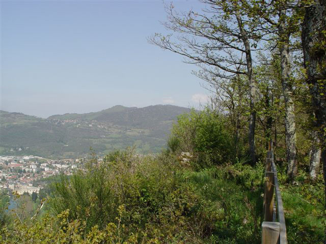
Hike - Le Belvédère de Vizille

Starting from the center of Vizille, this loop leads to a belvedere offering an unusual view of the Vizille area.
Route details
1. From Place du Château (Musée de la Révolution française), take Rue du Général-de-Gaulle, then turn right under La Voûte (parking available on the left). Follow the D524 to the Pont des Allas crosswalk. Cross the bridge and come to a fork in the road.
2. Go straight ahead on a small gravel road that enters the Vizille forest. Reach the "Derrière-les-Murs" sign.
3. Turn left on a path that rises steeply and gradually becomes a footpath. At 550 m, it joins an almost level track, which you take to the left as far as the belvedere (panoramic view; picnic area).
4. Follow the wide downhill track to the "Les Barontes" signpost.
5. Turn left to reach the Allas bridge.
2. Cross the bridge again and return to the starting point.
Pets welcome
-
Car park,
-
Public WC
Opening
Throughout the year : open daily.
More details
Not accessible in a wheelchair
Informations to download
Discover more


Go there
Latitude : 45.075644
Longitude : 5.772459
Height : 280
38220 Vizille
Go there
Vizille, à 19 km au sud-est de Grenoble par l’A 480 et la N 85.
Accès bus : Bus ligne 23, T75, T90, T91 arrêt "Place du Château". C13 arrêt “Chantefeuille“
Information updated on 06/01/2026
by Office de Tourisme Grenoble Alpes