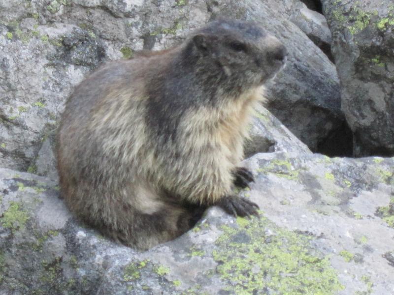
The groundhog trail

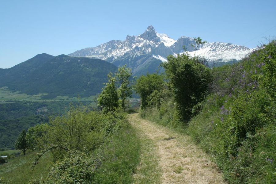
Nice walk in the mountain pastures, to discover the "Quatre mille du Beaumont": Colombier, Côte-Belle, Côte-Rouge and Mont-de-Rousse.
A hike where marmots are often present.
Parking:
From La Mure, take the N85 (Route Napoléon) and after Les Essarts turn left on the D212 which will bring you to Saint-Michel-en-Beaumont. After the hamlet of Villelonge turn left onto the D212F. Park in a car park along the D212F, near the Col de Parquetout.
Itinerary :
Take the forest track "Tour du Valbonnais-Beaumont" to the Clos de l'Alpe hut. Continue on the contour line on the side of Mont-de-Rousse to the Plainet (1490m). The path turns due north and crosses the magnificent Bois des Trente.
You join the Col de Parquetout road which you take to the right to find the car.
Route details
From the Col de Parquetout, follow the road uphill, pass two hairpin bends then take the path on your right (follow the yellow markings) to the crossroads "Bois des Trente" until the "cabane des Trente", which you will leave on your right to reach the place called "Aiguebelle". There, continue on the path on your right, and climb along the shoulder to the "Bergerie du Clos de l'Alpe". Leaving the yellow markings, the first path on your right will take you along the contour lines to the "Haut Col" where you will find the yellow markings, then to the "Plainet". There, take the track on the right, which will take you through the magnificent Bois de Trente to the "Cabane des Trente", to return by the same path as on the outward journey.
Pets welcome
-
Covered picnic area,
-
Car park
Opening
All year round daily.
More details
Informations to download
Tips
The N85, between Grenoble and Vallauris, follows part of the route taken by Napoleon I on his return from the Island of Elba, at the start of the Hundred Days.
Discover more

Go there
Latitude : 44.876515
Longitude : 5.923635
Height : 1369
38350 Saint-Michel-en-Beaumont
Go there
Information updated on 12/10/2026
by Matheysine Tourisme