Footpath from Jarrie to Montchaboud
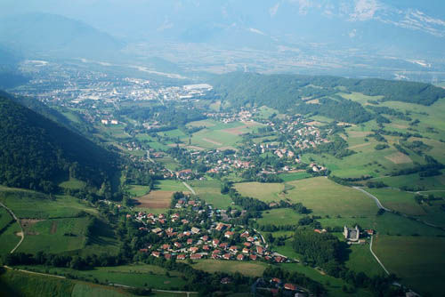
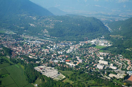
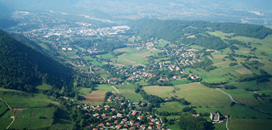
Starting from the station in Jarrie, this family walk is an ideal opportunity to admire different views over the Grenoble valley, Jarrie and Vizille.
Leave your car at the Jarrie rail station car park.
Route details
Park in the Jarrie station parking lot.
Follow the yellow SIPAVAG signs.
Start at the yellow Montchaboud sign behind Jarrie station. The climb to Montchaboud starts on a wooded road, then follows a smaller forest path. The first panorama is of the industrial valley of basse Jarrie, with the Chartreuse peaks in the background.
Continue towards La Source, turn right at the next two crossroads towards La Longagnie then Les Clares. Continue straight on towards Croix de la Vue. Continue left towards Montchaboud, on a path shaded by lush vegetation. You're now looking out over the Vizille and Romanche valleys.
Enter Montchaboud and continue as far as the wash-house, then turn left uphill towards Les Vernes. At the Les Vernes sign, turn left along the field. Admire the panorama over Jarrie, Brié and Herbeys, with the Grenoble conurbation and the Chartreuse and Vercors ranges in the background. Head back down towards Jarrie along a path through a chestnut forest.
At the Palleine crossroads, turn left towards Haute-Jarrie. You'll see the Château de Bon Repos in the rolling landscape. At Rampeau, turn left towards Basse-Jarrie, follow the hill and climb up to La Croix de la Vue. At the next crossroads, go straight on and you're back at Les Clares.
Turn right downhill.
The return path is the same as at the start of the walk. Turn left at Longagnie and return to Jarrie station.
Pets welcome
Opening
All year round.
More details
Not accessible in a wheelchair
Informations to download
Go there
Latitude : 45.085461
Longitude : 5.742472
38560 Jarrie
Go there
BUS ACCESS C13 stop "Jarrie-la gare".
Information updated on 06/05/2025
by Office de Tourisme Grenoble Alpes