Loop in the Hubert Dubedout Park
Loop in the Hubert Dubedout Park
Route details
Departure is from the center of Poisat. There's a "sentiers" sign on the left at the start of rue Pierre Mendès France, which you'll have to take up to a place called "Prémol". Turn right into rue de l'Ancienne Mairie and climb up to the intercommunal cemetery parking lot (on the left). Immediately after the parking lot, the "Parc Hubert Dubedout" sign indicates the entrance to the park (a metropolitan natural area). Turn left onto the path leading to "Camp de Poisat" and "Bois de Jaillot". At "Bois de Jaillot", continue straight ahead towards "Replat" and "Camp de Poisat". At "Replat", take the left-hand path towards "Camp de Poisat". When you reach the ruins of "Camp de Poisat", exit onto the track and turn right towards "La Croix". When you reach "La Croix", immediately turn right onto the track towards Poisat "Bel Air". Follow the wide track down to "Bel Air" and continue straight on towards "Parc Hubert Dubedout" and "Poisat Centre" to return to the starting point.
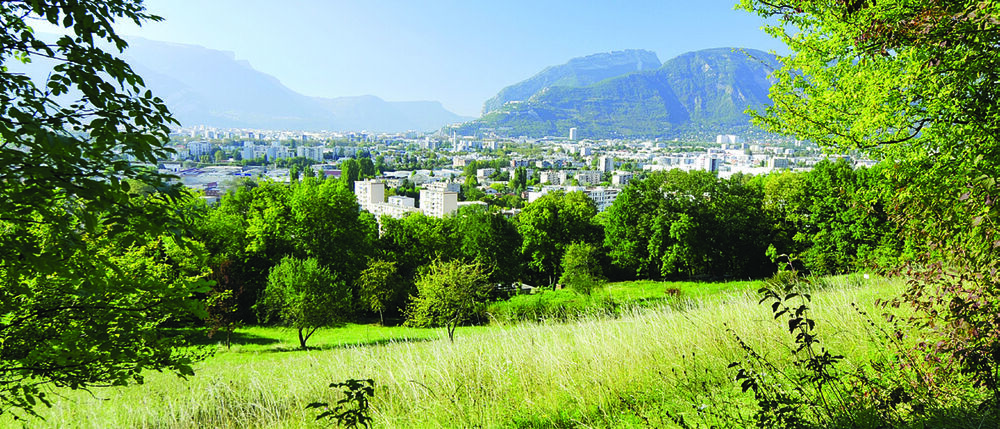
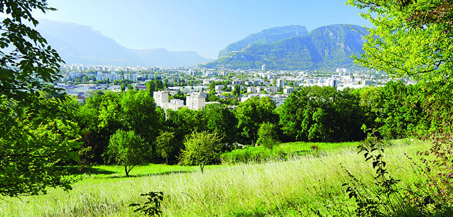
See and know: this park is part of the "Frange Verte" (green fringe) and elbows with the "Forêt du Mûrier" (mulberry forest). The trees on this hillside alternate with wide meadows. Parc Hubert Dubedout is undoubtedly the most discreet of the city's natural spaces. Nevertheless, with its chestnut, black locust, plane and sycamore maples and fruit trees such as plum, cherry and medlar, it's well worth the detour.
Pets welcome
Car park
Opening
All year round.
Subject to favorable weather.
Go there
Latitude : 45.158372
Longitude : 5.75939
Height : 360
38320 Poisat
Go there
Access : Line C7 and 18 stop " Centre socio culturel ".
Information updated on 06/05/2025
by Office de Tourisme Grenoble Alpes