King's forest (short)

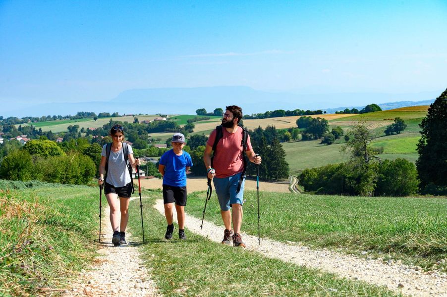
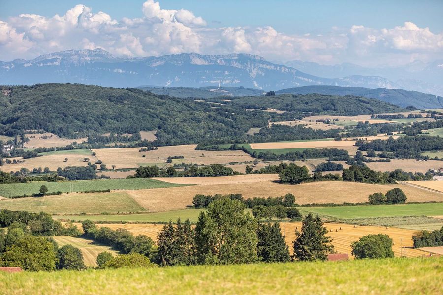
The ingredients for a beautiful hike : chestnut and oak forests, all punctuated by beautiful views of the Dent du Chat, Dévoluy, Mont Blanc, Chartreuse and Belledonne.
ROUTE
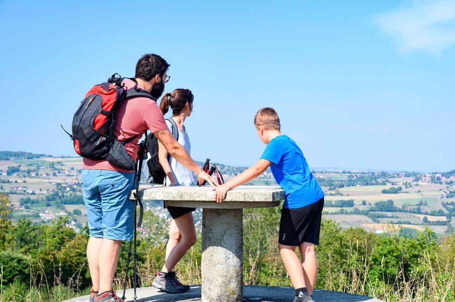
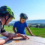
Head up a narrow road towards Les Bois, stopping in front of the Americans' stele and the viewpoint indicator on your left to observe the Bugey peaks, the Mont du Chat, the Epine range, the Chartreuse mountains and the Vercors peaks from left to right. On a clear day, you can even see Mont Blanc!
You then enter the Biol woods. At Les Trois Coches, head in the direction of Le Foulu to pass through small hamlets bordered by meadows and copses before returning to the forest on the hilly wide paths to Les Planches.
Return to Biol-le-Haut along the hilly forest track towards Les Trois Coches.
WAYMARKING AND SIGNPOSTING
From the car park, follow the yellow signs and the following junctions:
Aux Bois > Les Trois Coches > Les Planches > Le Sibuet > Le Bouteau > Les Azimets > Aux Bois > Retour Biol-le-Haut
Alternatively, start from the Chasseurs car park, accessible from the route de Flachères (400m after the ST DIDIER DE BIZONNES village exit sign, take the track on the right - find your way by the electricity pole at the bottom).
Route details
Pets welcome
-
Car park,
-
Public WC
Opening
All year round daily.
Discover more
Go there
Latitude : 45.496474
Longitude : 5.366463
Height : 610
Intersection Rue du 19 mars 1962 et Chemin du Barracas
38690 Biol
Go there
Another departure from the Chasseurs car park, accessible from the Flachères road (400m after the pannaeu at the exit of the village of ST DIDIER DE BIZONNES, take the road on the right - find your way thanks to the electric post at the bottom). Remember to shift the crossroads posts to follow (8.7 km or 15.8 km in the long version) with the help of the map and don't miss the orientation table on the way there and back.
Information updated on 21/07/2026
by Office de Tourisme des Vals du Dauphiné