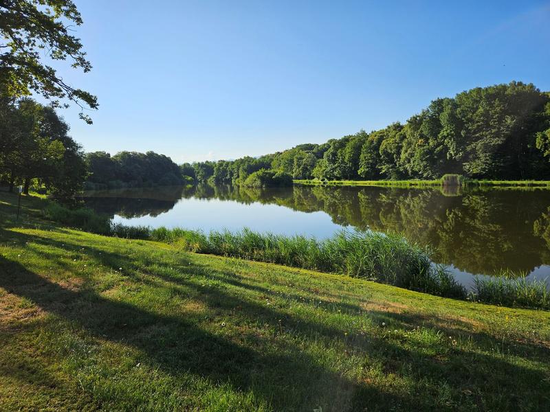
Vivier’s pond

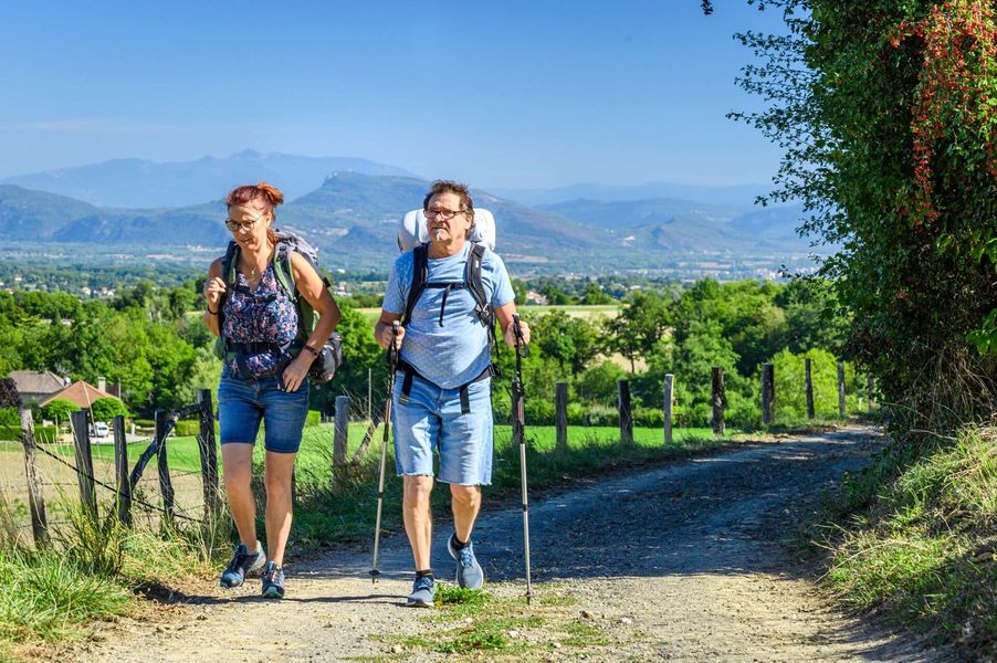
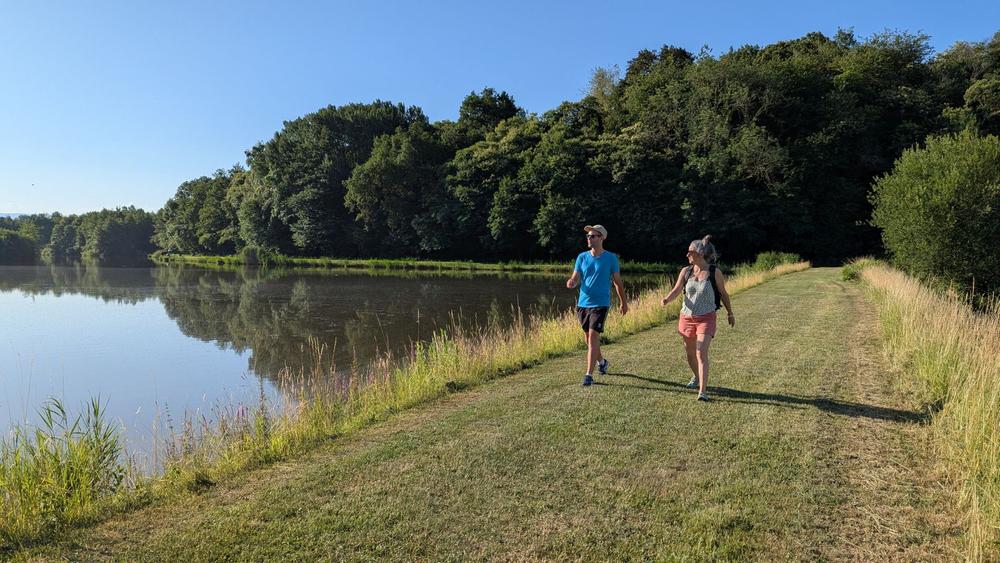
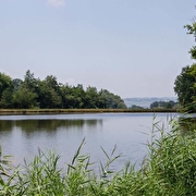
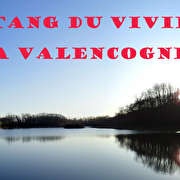
A pretty circuit on Valencogne's plains and its heights which will allow you to have a view on Vivier's pond and Paladru's town.
ROUTE
Starting point at Valencogne's town. Parking below the church. Go up towards the church to le chemin du lavoir.
From Valencogne to Gréhaut, this tour follows the GR 65, also called « chemin de Saint-Jacques de Compostelle (Way of Santiago de Compostela)», wlaked by several thousand pilgrims. This journey will lead you then in front of Vivier’s pond, then on the heights of Paladru before returning via the Way of Santiago.
WAYMARKING AND SIGNPOSTING
Follow the yellow marked path and the crossroads:
VALENCOGNE > Chemin du Lavoir > Le Gréhaut > Bois Reyer > Ferme du Mont > Montfrelet > les Allimards > Jalinières > le Brocard > Chemin du Lavoir > VALENCOGNE
An optional 1.4km round trip takes you to the statue of Notre-Dame des Vignes and its lovely panorama of the Bugey peaks.
Route details
Pets welcome
-
Car park,
-
Public WC
Opening
All year round daily.
Informations to download
Discover more
-
"Notre Dame des Vignes" : The Madonna
Place: Valencogne

-
Lake Paladru
Place: Charavines

-
Walking track: the crosses of Valencogne.
Place: Valencogne
Elevation 230m

-
Church tour from Valencogne
Place: Valencogne
Elevation 235m
-
Ponds' track in Valencogne
Place: Valencogne
Elevation 180m
-
Vivier pond
Place: Valencogne

-
Fishing at the Vivier pond
Place: Valencogne
Go there
Latitude : 45.498859
Longitude : 5.539443
Height : 570
61 Montée du village
38730 Valencogne
Go there
Information updated on 15/04/2026
by Office de Tourisme des Vals du Dauphiné