Labarre Lake

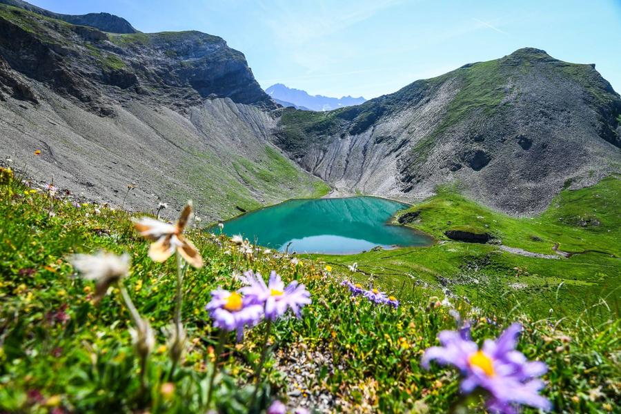
The pastel green colour of the lake is in contrast with the dark rock around it. The immaculate white quiffs of the cotton grass complete a unique picture.
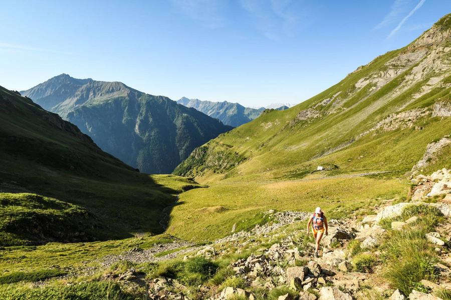
The walk begins in a mosaic of old flowered prairies, scree with a few scattered trees, orange lis and asphodels. Soon there will be no more trees but lush grass through which flows the Fayolle stream. The pastures and their hut appear as the relief softens. The last rocky protrusion can be seen. They are the base of the small glacial cirque in which the lake is set itself surrounded by a short alpine lawn or gentians and small buttercups that group together in a carpet of colour.
Bernard Nicollet, Warden in the Valbonnais area
Route details
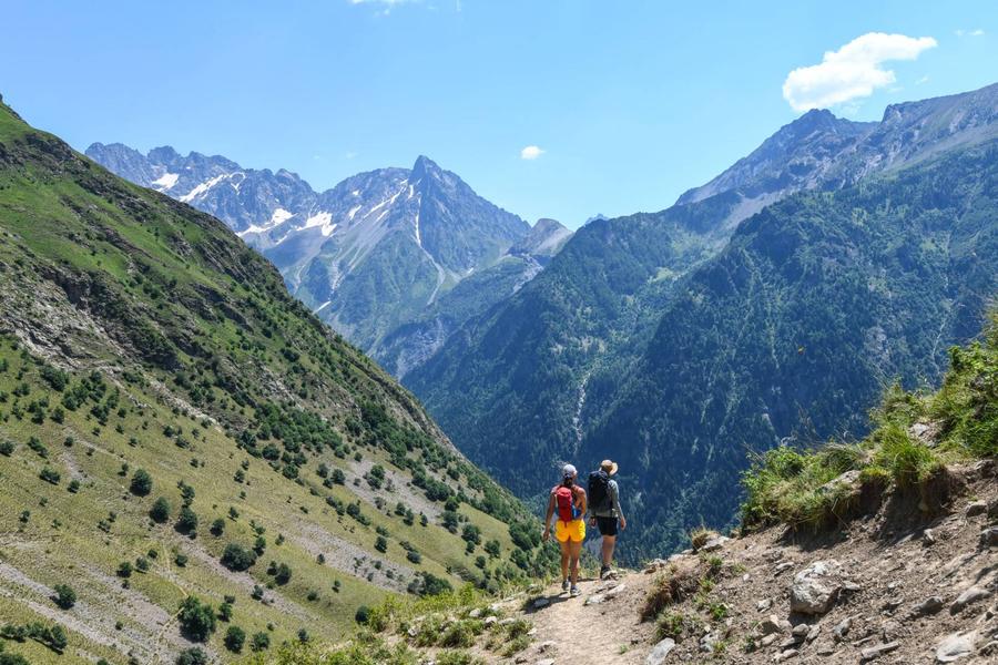
Go through the hamlet of Valsenestre and turn left after the chapel. Take the footpath that heads West, cross the footbridge over the Rif and continue on the overhang above the Béranger valley, towards the Combe Guyon valley. After a steep climb, cross the footbridge over the Fayolle stream and continue on the right bank. After a few bends through the grass and a long upward crossing, you will reach the Combe Guyon pastoral hut (water source). Continue up the bottom of the valley until you reach 2082 m in altitude, cross the stream and follow the large bend that will take you above the rocky ledges that circle it. You will soon arrive at the Labarre Lake. Return to Valsenestre by the same route.
More details
Informations to download
Tips
Is in the midst of the park : The national park is an unrestricted natural area but subjected to regulations which must be known by all visitors.
Herd protection dogs : In mountain pastures, protection dogs are there to protect the herds from predators (wolves, etc.).When I hike I adapt my behavior by going around the herd and pausing for the dog to identify me.Find out more about the actions to adopt with the article "Protection dogs: a context and actions to adopt".Tell us about your meeting by answering this survey.
Go there
Latitude : 44.90823
Longitude : 6.054381
38740 Valjouffrey
Go there
Departure : Valsenestre.
Road access : D26 from La Mure then D117 at Entraigues and D117a at La Chapelle en Valjouffrey..
Parking recommended : Park at the entrance to Valsenestre .
Public transport : Transisère bus to Entraigues .
Information updated on 03/09/2026
by Parc national des Écrins