Pic Coolidge (3,775m)

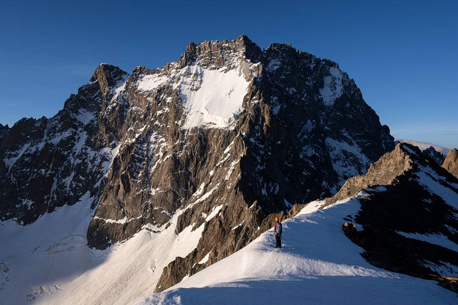
Pic Coolidge is an essential peak in the massif. Easy and accessible from the valleys of Vénéon and Vallouise, in the heart of the central area of the Parc National des Écrins, it offers an unparalleled view of the Barre des Écrins and Ailefroide mountain
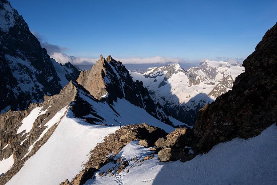
This peak is one of very few itineraries suitable for a discovery of alpinism in all its dimensions: refuge or bivouac, snow, rock, route-finding. But above all it yields the secrets of the incredible architecture of these high places, invisible from the valley below.
Route details
To get to the Temple-Écrins refuge, you have to walk along the Vénéon, up through the Carrelet wood and climb a few stone steps before the landscape gradually opens up. At the end of the path, the refuge comes into view.
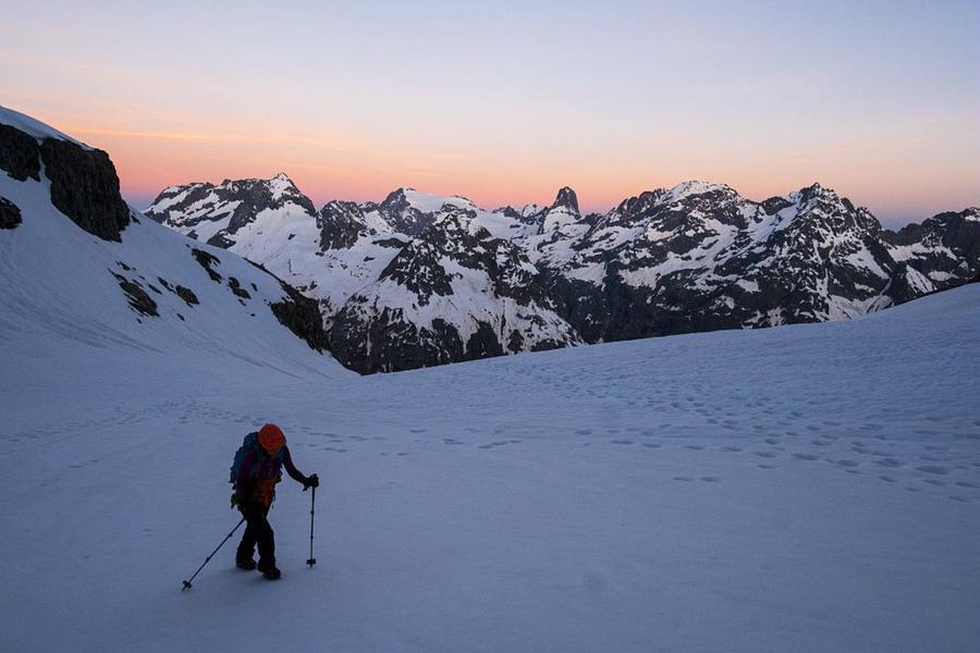
On the second day, we get to the heart of the matter with the ascent of Pic Coolidge. Leaving the refuge, you first reach the Col de la Temple-Épaule at 3,321m. You then have to climb 450m to reach the summit of Pic Coolidge at 3,775m.
Return to La Bérarde via the same route.
More details
Informations to download
Tips
The round trip from La Bérarde with an overnight stay at the Temple Écrins hut is the easiest and least demanding, but also the most popular. It is recommended for those with a little experience. However, it is a long normal route, the speed of which is closely linked to the snow cover on the scree. In summer, the rocky parts of the route are well marked with crampons and cairns, which makes it easy to follow the correct route. At the end of the rocky section, be sure to mark the spot that will help you find the right route on the way down.
A very early start (at night) is recommended. To get the most out of this race, it is essential to be well trained and used to long walks.
Is in the midst of the park : The national park is an unrestricted natural area but subjected to regulations which must be known by all visitors.
Go there
Latitude : 44.931916
Longitude : 6.29235
Go there
Road access : From Le Clapier, which is accessible from Le Bourg d'Oisans or Briançon via the D1091 (4km south-east of Bourg d'Oisans), follow the D530 up the Vénéon valley for 26km to La Bérarde. At the entrance to the village, cross the bridge over the Étançons stream and go down a narrow road to park in the car park below the village..
Parking recommended : Bérarde car park .
Public transport : Daily bus services from Grenoble and Briançon :
https://www.itinisere.fr/
https://carsisere.auvergnerhonealpes.fr/
https://zou.maregionsud.fr/ .
Information updated on 11/06/2026
by Parc national des Écrins