Tour from La Grave to the Plateau d'Emperis via the Pic du Mas de la Grave

3 days' walking to tackle the ascent of the Pic du Mas de La Grave and discover the Plateau d'Emperis, a stunning belvedere overlooking Les Écrins.
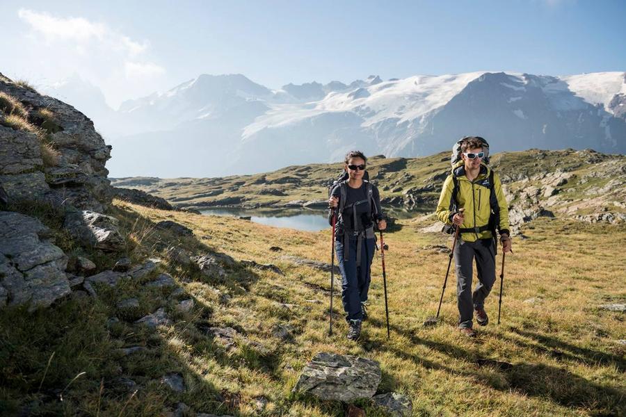
Throughout the trek, which runs through small villages and hamlets and is dominated by the majestic summits of Les Écrins, your every step is surrounded by beauty and awe. After a vertiginous climb up to the imposing Pic du Mas de la Grave, you are rewarded by a 360° vista of the magical Plateau d'Emparis and its lakes. Animal husbandry, nature and the high mountain environment will delight not only avid mountain heritage lovers but also those of a contemplative persuasion.
Route details
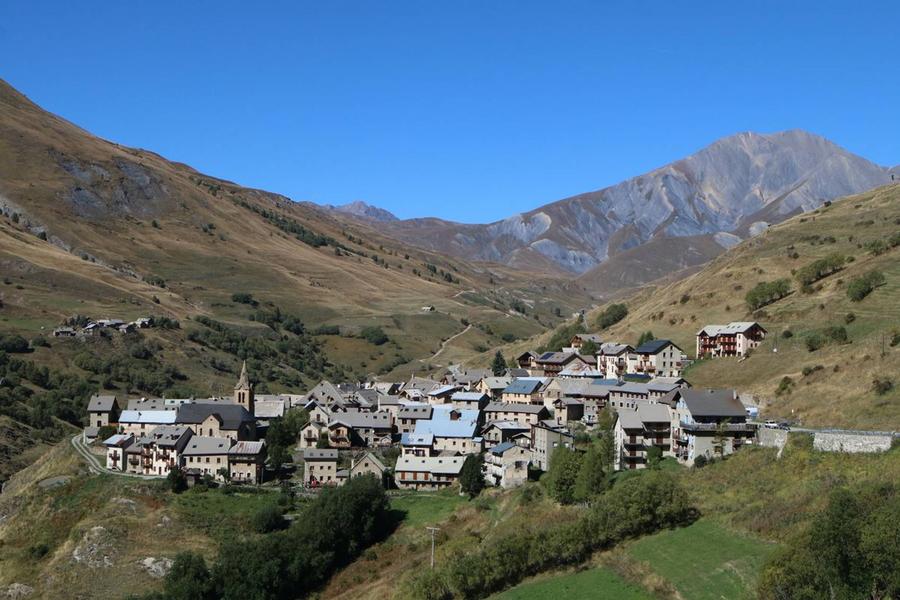
This excursion starts with a relatively short first stage inviting you to roam between villages and hamlets, to cross the Buffe valley and its alpine pastures, highly prized grazing grounds for the seasonal flock migrations. It ends at the refuge of the Pic du Mas de La Grave, standing at the foot of the peak.
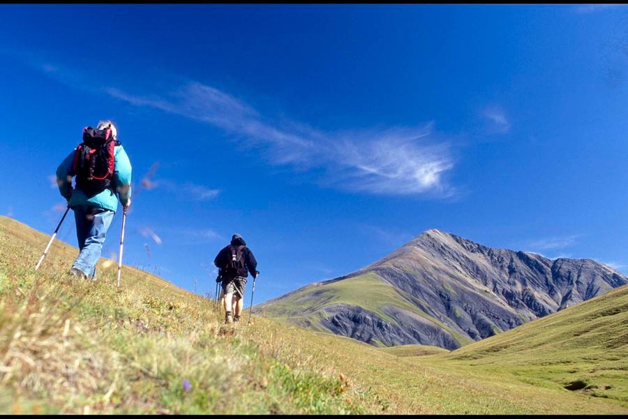
The second day is dominated by the imposing presence of the Pic du Mas de La Grave (3,020m). From the valley, the climb up to the Pic is a must for experienced hikers, and offers an imposing 360° view. Then back to overnight in the refuges of Le Fay and Les Mouterres.
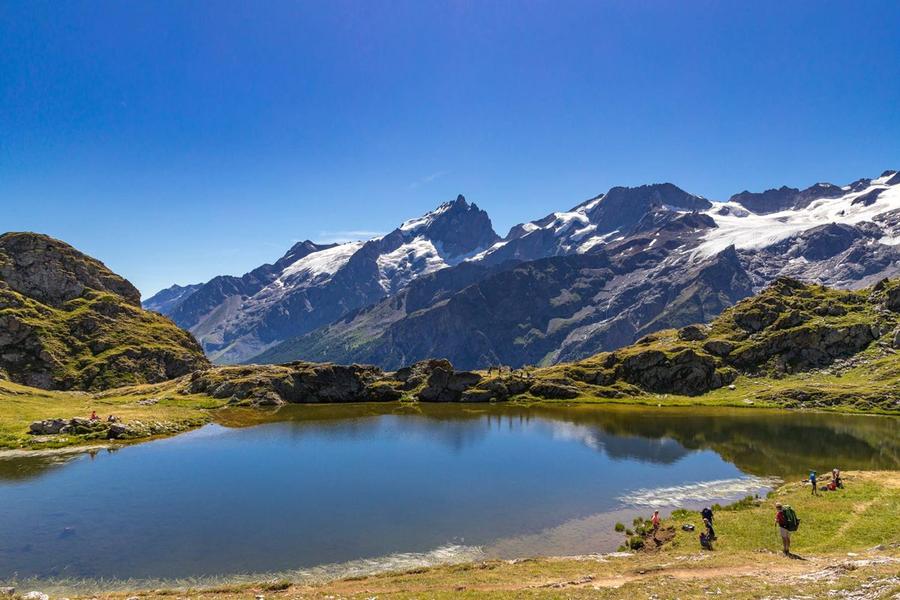
The last stage merges with the GRⓇ54 before running back uphill, offering hikers an unrivalled view from the Plateau d'Emparis and its two iconic lakes, Lac Nerié and Lac Noir. Here the high peaks of the massif come into view and the glaciers of Les Écrins and La Meije. This stage ends by passing through Le Chazelet and Les Fréaux, marking a return to civilisation through the Romanche valley.
More details
Informations to download
Tips
Herd protection dogs : In mountain pastures, protection dogs are there to protect the herds from predators (wolves, etc.).When I hike I adapt my behavior by going around the herd and pausing for the dog to identify me.Find out more about the actions to adopt with the article "Protection dogs: a context and actions to adopt".Tell us about your meeting by answering this survey.
Go there
Latitude : 45.044525
Longitude : 6.303336
05320 La Grave
Go there
Road access : From Bourg d'Oisans, follow the D1091 until you reach La Grave.
From Briançon, follow the D1091 until you reach La Grave..
Public transport : By train, Grenoble SNCF station : www.voyages-sncf.com
By bus :
Bus lines in Région Sud : https://zou.maregionsud.fr/
Bus lines in Auvergne-Rhône-Alpes : https://carsisere.auvergnerhonealpes.fr/
Bus lines in Isère : https://www.itinisere.fr/ .
Information updated on 03/09/2026
by Parc national des Écrins