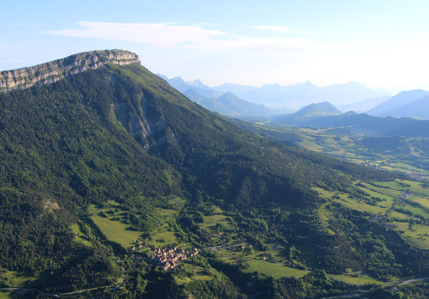
Le Goutaroux

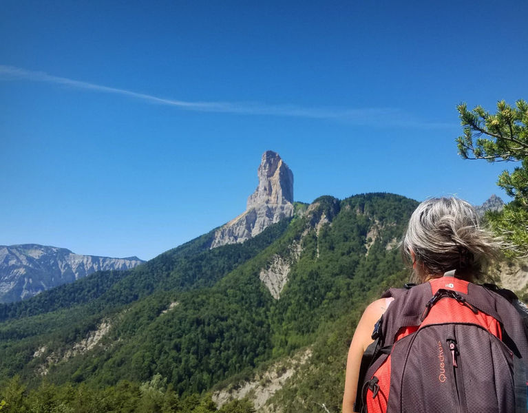
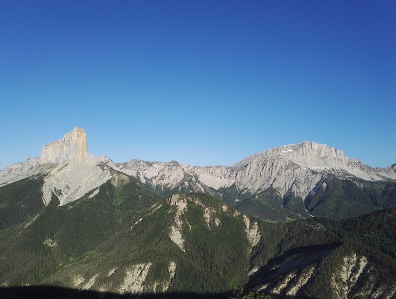
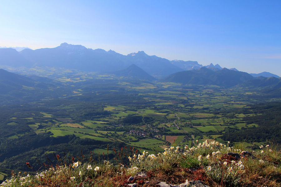
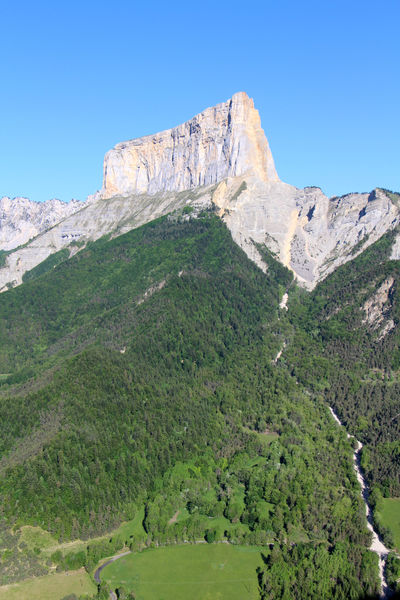
Departing from the charming hamlet of Trézanne, the Goutaroux hike offers incredible views of nearby Mont-Aiguille, as well as the Trièves countryside from the summit.
Quite a varied hike, with open sections offering views of Mont-Aiguille, refreshing sections in the north-facing forest and a final section over the Aubeyron ridges to the summit of Goutaroux.
Route details
Start: Drive to the Trézanne parking lot. Start from the "Trézanne" signpost, near the chapel.
1) Follow the signs for "Seiterat", taking the track to the north.
2) From the "Seiterat" post, follow the path on the right which climbs steadily to reach "Les Brutinels" then "Les Sagnes" and finally the "Col de Papavet". Alternatively, take the forest track, which winds more gently.
3) At "Col de Papavet", follow the signs for "Le Goutaroux", taking the track that runs north-east. This track runs almost flat, and at its end leads to a pretty path on the right, which climbs steadily through the forest. The ascent is pleasant and you quickly gain height. Keep an eye out for yellow and green markings, as the route crosses other unmarked paths.
4) Leaving the forest, you begin to skirt the crests of the Aubeyron. Follow the path as it climbs, then crosses over and even drops back slightly before the short final climb to the summit of Goutaroux.
Return by the same route.
Pets welcome
Opening
All year round.
More details
Not accessible in a wheelchair
Informations to download
Discover more

Go there
Latitude : 44.845062
Longitude : 5.580265
Height : 1005
38930 Saint-Martin-de-Clelles
Go there
Follow signs for Trézanne, then cross the hamlet to reach the parking lot.
Information updated on 09/01/2025
by Office de Tourisme du Trièves