


Walking tour of the village of Valbonnais
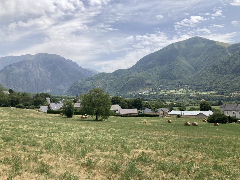
Step away from the busy waterfront for a while to discover the village of Valbonnais.
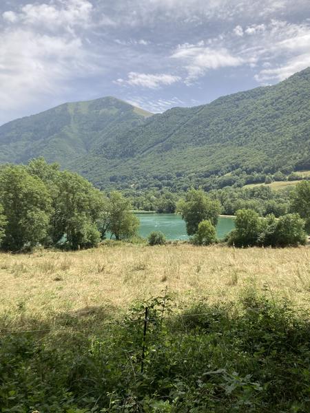
Starting from the "Plan d'Eau" (lake/recreational area) parking lot, head toward the lake until you reach the "Plan d'Eau" junction.
From there, follow signs for "Valbonnais" and climb up to the D526 road. Cross with caution, then walk along the road in the downhill direction for 50 meters before taking the path that leads upward to the right.
After a 250-meter ascent, turn right to join the "Canal des Moines" (Monks' Canal). Follow it until you reach a street, then continue to the "Jardins de Siguret" junction.
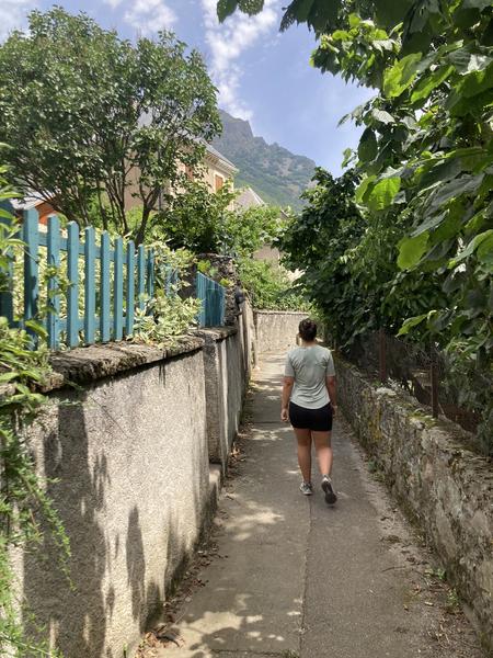
Descend toward "Siguret" and then "Valbonnais." Cross the main street and follow signs for "Plan d'Eau," taking a narrow passageway—a former irrigation canal for the surrounding gardens.
Once back on the road, continue straight downhill until you reach the "Le Moulina" junction.
Turn right to return to the "Plan d'Eau" parking lot, where you will find the starting point and the beach.
Route details
Pets welcome
-
Free car park,
-
Car park,
-
Public WC,
-
Play area
Opening
All year round daily.
Subject to favorable weather.
More details
Reserved space 330 cm wide < 100 m from the site
Mobility disability
2 places de stationnement pour PMR.
Discover more
Go there
Latitude : 44.893144
Longitude : 5.901392
Height : 700
Route du plan d'eau
38740 Valbonnais
Go there
Depuis la route principale de Valbonnais (D526), prendre la direction du plan d'eau à droite. Stationner sur le parking gratuit du plan d'eau.
Information updated on 20/10/2026
by Matheysine Tourisme