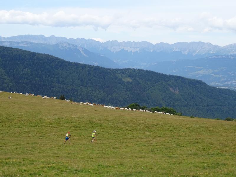
N°11 Le Sénépy - black path

Difficult track for experienced bikers ! After a long ascent to the top of the Sénépy you will discover an extraordinary 360° panorama. Itinerary n°11 difficulty level : black
The trip offfers you an aerial descent in the direction of La Motte St Martin followed by a climbing to discover the river Drac and the lake of Monteynard.
Route details
Pets welcome
-
Public WC,
-
Picnic area
Opening
Printemps-été-automne
Informations to download
Discover more
-
Pic-nic area of Les Cordeliers
Place: Pierre-Châtel

-
Signaraux ski resort
Place: La Motte-d'Aveillans
-
Municipal Campsite of Les Cordeliers
Place: Pierre-Châtel

-
Alpage du Senépi
Place: La Motte-d'Aveillans
-
Lac de Pierre-Châtel - Aire de pique-nique des Cordeliers
Place: Pierre-Châtel
-
La Mure's market
Place: La Mure
From to
Go there
Latitude : 44.967759
Longitude : 5.780265
Height : 930
38119 Pierre-Châtel
Go there
Départ Camping des Cordeliers (Pierre-Châtel)
Information updated on 09/10/2026
by Matheysine Tourisme