In the footsteps of Frédéric Dard, around the abbey town of Saint-Chef

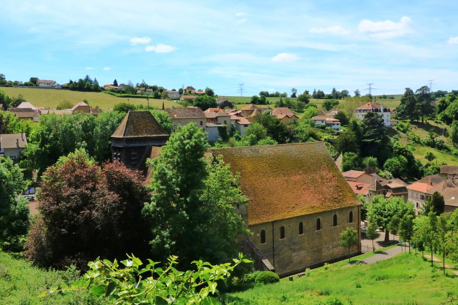
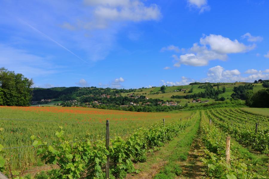
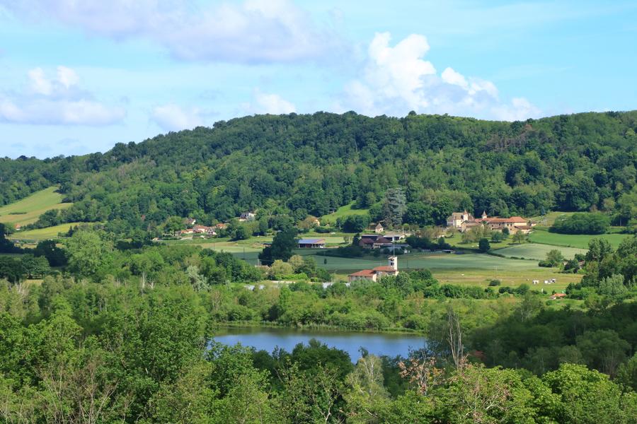
This circular walk takes you through woodland, meadows and hills. The walk offers panoramic views of the Alps; you’ll enjoy the charm of the adobe houses and the hidden ponds of Crucilleux, not to mention the views of the small vineyards of Saint-Chef.
Route details
1 - From the car park, take the Sentier des Rossignols towards La Biousse, then turn left onto the Route d’Arcisse.
At the first junction, take the road on the right towards Basse Biousse.
It crosses a small valley and leads to the entrance to the hamlet.
2 - S’engager à droite sur le chemin qui s’élève en pente douce et continuer jusqu’au poteau « La
Biousse » (360 m).
3 - Turn left towards La Brenaise, first onto the road and then onto the country lane.
Pass the signposts for ‘La Brenaise’ (390 m) and ‘Gaillot Candy’ (390 m). Continue to the right to reach ‘Les Envers’ (400 m).
4 - Turn left onto the road towards Château de Chapeau Cornu. At the first junction, turn right, pass through the hamlet of La Rivoire and head for the signpost marked ‘Croix de la Rivoire’ (405 m).
Continue towards ‘Bois Jallieu’ (315 m) until you reach the signpost marked ‘Château de Chapeau Cornu’ (287 m) opposite the fountain. Take the path leading to the castle’s porch.
5 - Halfway along, turn left onto the track, then take the first path on the right. It goes round the castle and leads down to the country lane. Follow it to the left as far as Lake
Crucilleux and pass the Lac farm.
6 - Turn left onto the path that climbs gently between the fields and head towards the ‘Arcisse’ signpost (265 m). Take the road on the right towards Le Fayet and walk through the village. At the fountain
topped with a cross, turn left and leave Arcisse via the Côte du Merland.
Pets welcome
Opening
All year round daily.
Subject to favorable weather.
Informations to download
Discover more
-
High Chapel of Saint-Chef
Place: Saint-Chef

-
Abbatial Church of Saint-Chef
Place: Saint-Chef

-
Saint-Chef Museum
Place: Saint-Chef
-
Saint-Chef, the abbey city
Place: Saint-Chef
-
Etang de Gôle Sensitive Natural Area
Place: Montcarra
-
Cask House : beer factory
Place: Saint-Chef

-
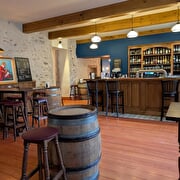
Cask House : Irish pub & food
Place: Saint-Chef
Go there
Latitude : 45.632768
Longitude : 5.369746
D 54
38890 Saint-Chef
Go there
Information updated on 07/08/2026
by Office du Tourisme Les Balcons du Dauphiné