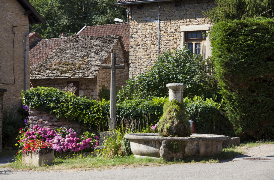
Tour à pied du plateau de Larina par Hières-sur-Amby et Vernas

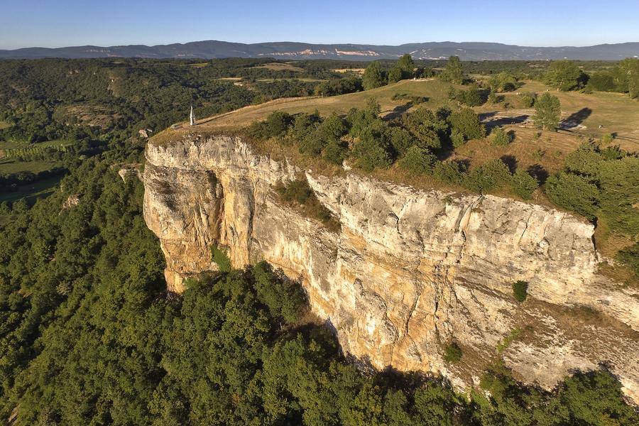
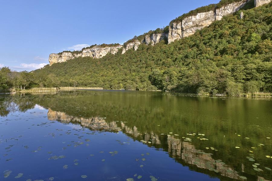
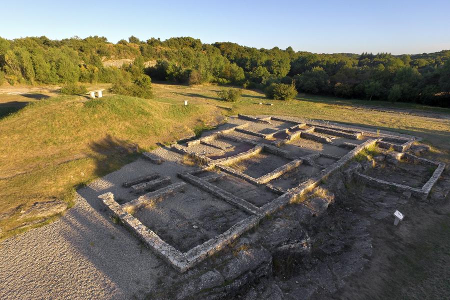
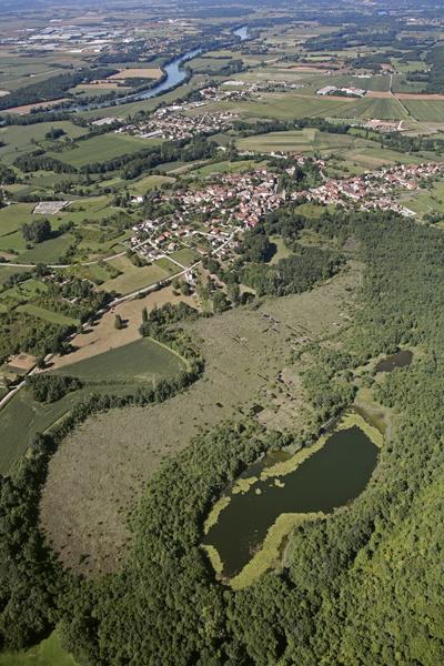
Set off to explore the Larina plateau, its cliffs and its archaeological site. This walk will give you the chance to discover the countryside of the Balcons du Dauphiné, its traditional villages, its local heritage and the panoramic views of L’Isle-Crémieu.
Route details
1 - Walk down the main street. At the wash house, turn right onto the street, which becomes a dirt track.
2 – At the signpost marked ‘Sous la Madone’ (218 m), take the stony path on the left which climbs up the cliff.
3 - On the plateau, turn left. Leave the wide path leading to the necropolis and take the path heading down to the left.
4 - At the ‘Fontaine de la Vie’ signpost (375 m), carry on straight ahead. After the first hairpin bend, turn left onto a wide path (an old rampart). At the second hairpin bend, cross the road, then
after 100 m, turn left onto a well-maintained path which leads to the edge of the cliff. Head slightly left and follow the cliff edge to the ‘Mollard de Bourcieu’ signpost (405 m).
5 - Continue left towards Chatelans. Cross the plateau. The path eventually joins the road leading to the archaeological site (signpost ‘Chemin du Charbonnier’).
6 - Turn right towards the picturesque village of Chatelans. Follow the road uphill (Montée des Biesses, then Chemin de la Serra).
7 - At the ‘Mollard Subin’ signpost (404 m), continue towards Vernas. At the ‘Chemin de la Serra’ signpost (300 m), turn left onto a path which climbs briefly before descending and coming out onto the road near Vernas Town Hall (staircase).
8 - Take the road on the right; pass several fountains and wells (bell-shaped) to reach the Chapel of Saint Joseph (signpost). Continue along the road, then take a dirt track on the left at the entrance to Bourcieu. At the ‘Bourcieu’ signpost, turn right, then left at the fountain, and follow the Chemin du Lac, which leads back to the ‘Sous la Madone’ signpost (218 m).
2- Return to the car park via the same route you took on the way there.
Pets welcome
Parking nearby
Opening
All year round daily.
Subject to favorable weather.
Informations to download
Discover more
-
Hières-sur-Amby
Place: Hières-sur-Amby

-
Larina archaeological site
Place: Hières-sur-Amby

-
Larina Plateau and Hières Peat Bog Sensitive Natural Area
Place: Hières-sur-Amby
-
Auberge de Larina
Place: Annoisin-Chatelans
-
La Lauze Museum
Place: Annoisin-Chatelans

-
Hières-sur-Amby archaeological museum
Place: Hières-sur-Amby

-
ViaRhônaby bicycle - Step 08 - La Balme-les-Grottes > Jons
Place: La Balme-les-Grottes
Elevation 267m

-
Hôtel Restaurant du Val d'Amby
Place: Hières-sur-Amby
-
Le Val d'Amby
Place: Hières-sur-Amby
-
Larina Plateau and Hières Peat Bog Sensitive Natural Area
Place: Hières-sur-Amby
-
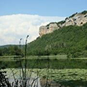
De Larina à la tourbière d’Hières : parcours pédestre entre falaises et plateau
Place: Hières-sur-Amby
Elevation 200m
-
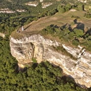
Balade à pied sur les hauteurs de Larina
Place: Hières-sur-Amby
Elevation 250m
Go there
Latitude : 45.797237
Longitude : 5.294308
38118 Hières-sur-Amby
Go there
Stationnement sur le parking situé derrière le musée archéologique de Hières-sur-Amby.
Information updated on 07/08/2026
by Office du Tourisme Les Balcons du Dauphiné