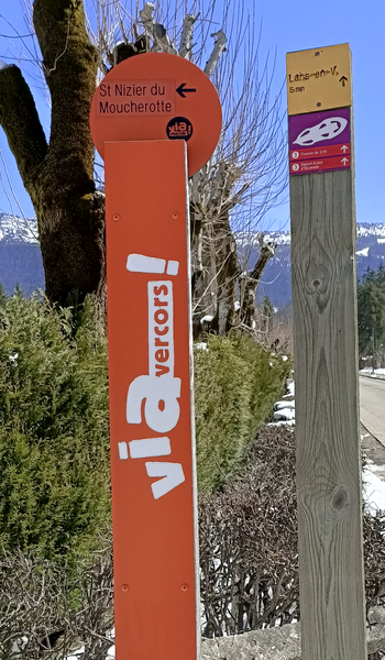
The Via Vercors from Engins to Saint-Nizier-du-Moucherotte
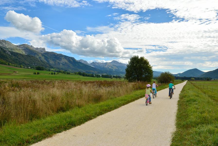
The Via Vercors routes pass through mountain landscapes, waterways, remarkable fauna and flora. Enjoy an open environment setting with educational stops and visits to local producers and artisans.
Starting from the Engins parking lot, head toward the dam road and take the Via Vercors via the Ayettes forest road above the Furon Gorges. The Via Vercors climbs along the roadside toward the hamlet of Rochetière, offering panoramic views of Grenoble and the Belledonne and Chartreuse mountain ranges. You’ll reach the village of Saint-Nizier-du-Moucherotte and its tram station, which marks one of the entry points to the Vercors.
Route details
Pets welcome
Opening
All year round daily.
Informations to download
Information updated on 15/07/2026
by Office de Tourisme Intercommunal du Vercors