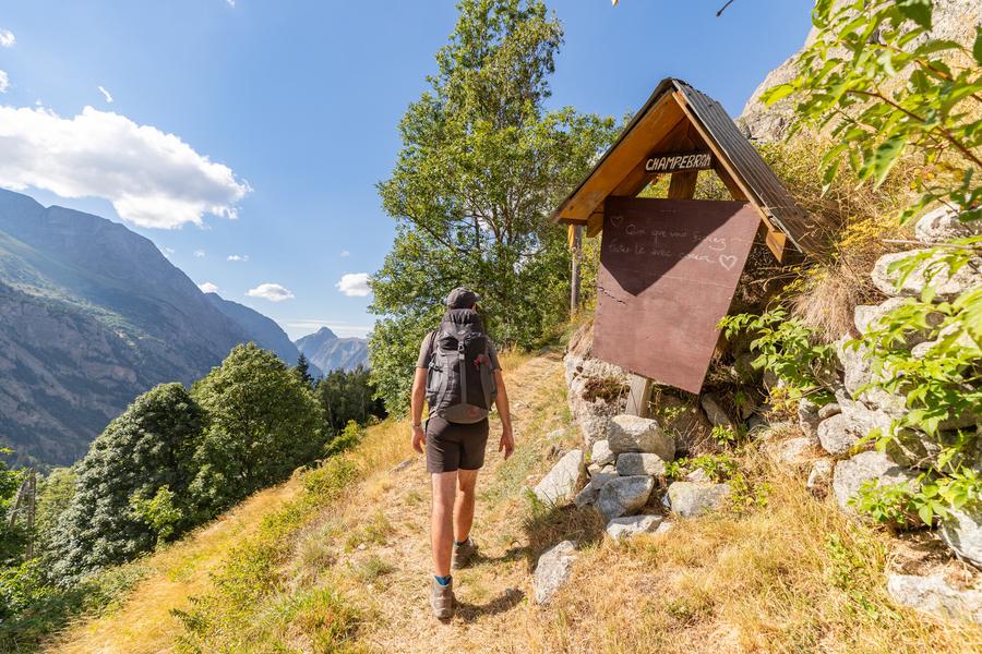
Le Tour des Hameaux - hiking from Saint-Christophe-en-Oisans

A refreshing and enjoyable hike on sunny days, to be enjoyed with family or friends.
TECHNICAL INFORMATION
Start: Saint Christophe en Oisans
Ascent: 500 m
Duration: 5 h loop
Distance: 7.8 km loop
Level :
Medium
MAP AND TOPO
IGN Top 25 map n°3336 ET
Topo map OBP n°5 (Oisans au Bout des Pieds), trails 528-529-526-561-526
ITINERARY
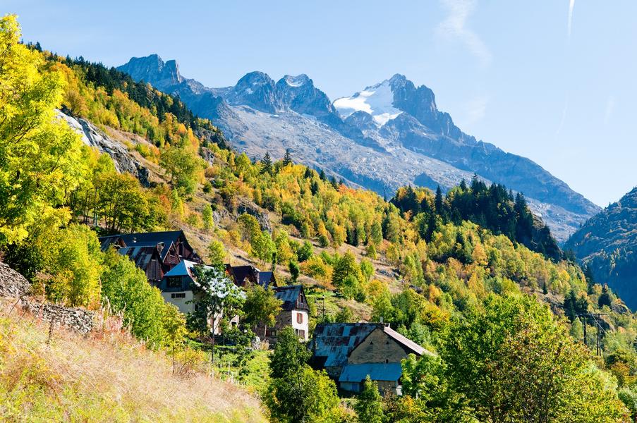
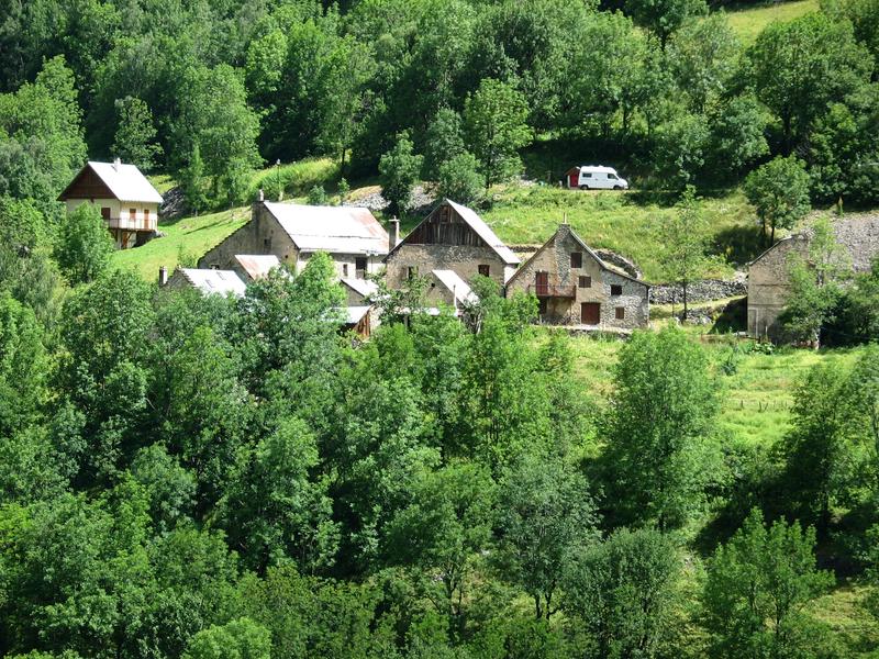
From the Saint-Christophe-en-Oisans tourist office, walk 50m and take the path on your right towards Alpe du Pin. The path descends through the forest to Les Granges. Once in the hamlet, turn left towards Bernardière. Look up, Lauranoure and the Pisse Froide waterfall are within sight. From Bernardière, a pretty, well-kept hamlet inhabited year-round, take a well-trodden path to Pré Clot, which climbs gently and steadily through the forest. Cross the RD 530 and take the road behind the gite
THINGS TO SEE ALONG THE WAY
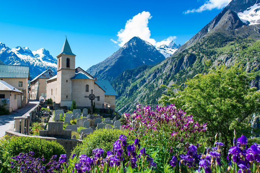
- The church and cemetery where some of the greatest names in mountaineering are buried.
- The "Mémoires d'Alpinismes" museum
- Pisse Froide waterfall
- Les Fétoules and Lauranoure
- The hamlets
Route details
Pets welcome
-
Car park,
-
Public WC,
-
Defibrillator
Opening
From 15/05 to 31/10 daily.
Subject to favorable snow and weather conditions.
More details
Not accessible in a wheelchair
Tips
At the hamlet of Le Clot, you can return to Saint-Christophe-en-Oisans along the small road, continuing straight ahead towards the parking lot.
Discover more

Go there
Latitude : 44.957794
Longitude : 6.176241
Height : 1648
405 route de la Bérarde
38520 Saint-Christophe-en-Oisans - La Bérarde
Go there
Information updated on 03/07/2026
by Oisans Tourisme