


Hiking from Savel to the Serre de l'aigle
Come and discover the surroundings of Lake Monteynard in a different way with this hike which offers you viewpoints and challenges.
Route details
Starting from Savel beach, in front of the campsite, follow the signs for "Chateaubois".
At the end of this climb, take the path on your left, which will take you up into the forest and reach "Serre de l'Aigle Haut (1324m)", then "Serre de l'Aigle Bas (1168m)". Then reach "Côtes de Mayres (1009m)" to descend to "Les Chazeaux" and then "Mayres Savel le Haut (680m)". You can discover the "Saint Jean-Baptiste church" in "Mayres Savel", a listed historical monument.
Then follow the signs for "Chardeau" and then "Les Mets" and descend via the Himalayan footbridges to "La Tourbe" and "Le Pont" to reach "La Chapelle" and the lakeside.
This route requires good physical fitness.
Pets welcome
-
Play area,
-
Picnic area,
-
Public WC,
-
Barbecue,
-
Parking nearby
Opening
Open every day.
Subject to favorable snow and weather conditions.
Informations to download
Discover more
-
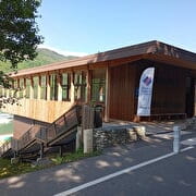
Bureau d'information touristique de Savel
Place: Mayres-Savel
-
Savel Campsite
Place: Mayres-Savel
Réservable
en ligne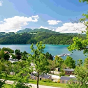
-
Church of St Jean-Baptiste - Mayres-Savel
Place: Mayres-Savel
-
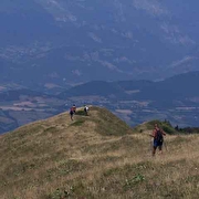
Alpage du Senépi
Place: La Motte-d'Aveillans
-
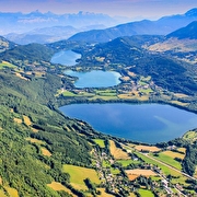
The Four Lakes Tour
Place: La Mure
Elevation 1511m
-
Sénépy
Place: Mayres-Savel
-
The footbridge of the Drac River
Place: Mayres-Savel
Elevation 120m

Go there
Latitude : 44.88302
Longitude : 5.688612
Height : 500
Route D116A
38350 Mayres-Savel
Go there
Information updated on 23/10/2026
by Matheysine Tourisme
