Around Valbonnais

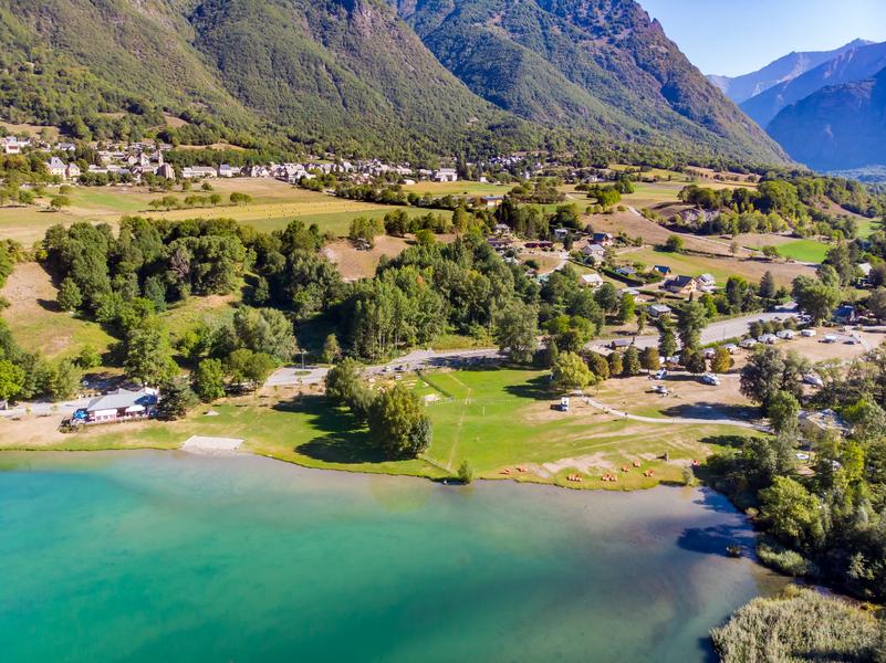
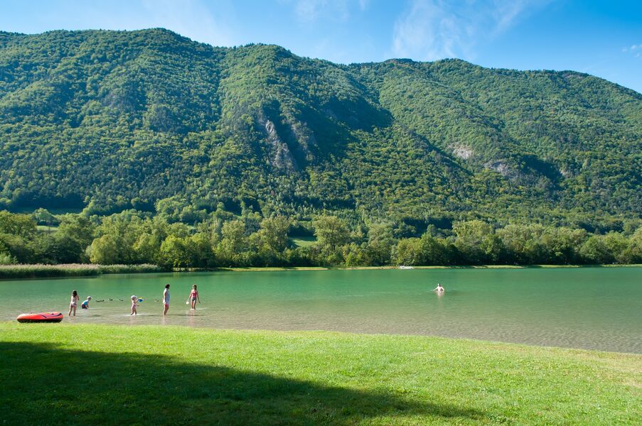
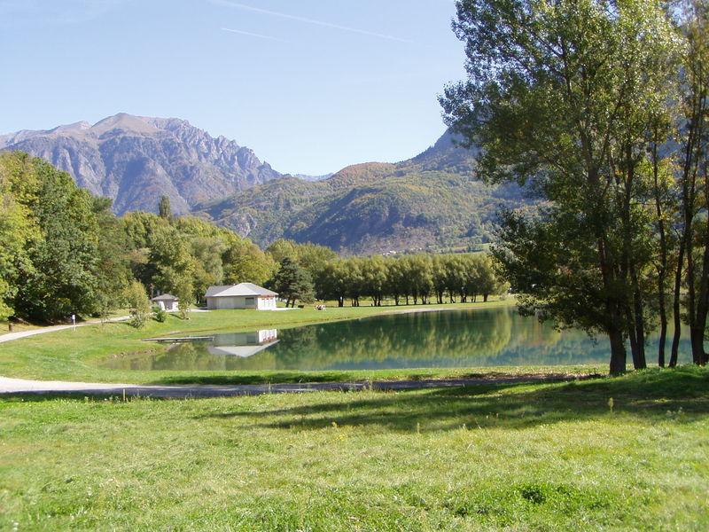
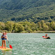
Walk across an open landscape of plains and vines, until one reaches the Lake of Valbonnais, which is a great place for a swim.
A walk which will take you to the discovery of the vines of the Valbonnais, undergoing a renaissance, the covered bridge of the Fayettes and its unusual architecture, lead you to a large lake with shallow water, quickly warmed up by the sun. On your way, you can discover the “minor” built heritage, the valley’s typical hamlets, and on the way back, the remains of a castle mount dating back to the Middle-Ages. From the school square, follow the GR 50 to your left following Siguret, Péchal, Les Vignes de Leygat . At the junction of Les Vignes , leave the GR and take the path towards Pont des Fayettes . From there, follow the road to the South to get to Les Angelas , then take to road towards Les Saugniers, Les Verneys . Then go to the Pont des Verneys up North. At the bridge, turn left on the path going to Plan d’Eau . At the Plan d’Eau , go up to get to the castle mount, towards Le Roussillon . Cross the departmental road, carrying on uphill. At Le Roussillon , follow Siguret along the canals to get back to the starting point.
Route details
From the "Place de l'école", reach on your left the GR50 path towards "Siguret", " Péchal", "Les Vignes de Leygat". At the crossroad of "Les Vignes", leave the GR path and take the trail towards "Pont des Fayettes". From there, follow the road to south for reaching "Les Angelas", then take the road towards "Les Saugniers" & "Les Verneys. Reach at the North the Verneys' bridge. After it, take the path on the left which reach the body of water. Then, climb to reach the castle mound, towards "Le Roussillon". Cross the road while ascending. At "Roussillon", go down towards "Siguret" along the canal for reaching the start.
Pets welcome
Car park
Opening
All year round daily.
Subject to favorable weather.
More details
Not accessible in a wheelchair
Informations to download
Tips
This itinerary is very easy, between fields and undergrowths, body of water and rivers is also possible by Mountain bike (45 mns) but it will need 2 hours by walking for this loop without difficulty.
Discover more

Go there
Latitude : 44.899127
Longitude : 5.903837
Height : 800
38740 Valbonnais
Go there
Information updated on 15/10/2026
by Matheysine Tourisme