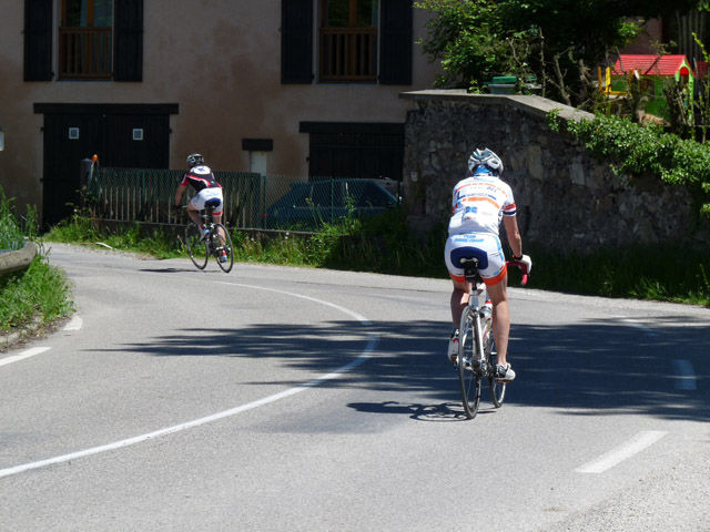
Ascent of the Luitel pass

A road bike loop with 1000m of ascent in 3 hours, via the Col du Luitel (1262m). The road to the pass is a difficult climb for experienced cyclists. A small, shady road with little traffic.
You can park in Vizille, Place du Château.
Mount your bike and head for Le Péage de Vizille, Bourg d'Oisans on the D101 (approx. 1.5 km).
At the intersection with the RD1091, head for Bourg d'Oisans and cycle along the Romanche to the village of Séchilienne.
At Séchilienne, take the Col du Luitel road at the small traffic circle on your left. You'll pass the Château de Séchilienne and the imposing church.
A 10 km climb (average 8.7%, maximum 14.3%) awaits you before you reach the Luitel Nature Reserve, a protected peat bog home to many species of flowers and small animals.
At the intersection with the D111, start the descent towards Vaulnaveys le Haut at 10.9 km (average 7.8%, maximum 10.2%), then Vizille on the D524 for around 9km.
Route details
Pets welcome
-
Public WC,
-
Car park
Opening
All year round.
Informations to download
Discover more
-
Family walk between Luitel and Prémol
Place: Séchilienne
Elevation 240m

-
En passant par le col du Luitel à vélo - Version longue
Place: Vizille
Elevation 1450m

-
The forest of Combeloup from Murianette
Place: Murianette
Elevation 600m

-
Le tour du Pic de l’Oeilly, le col de la Madeleine et la réserve naturelle du Luitel
Place: Séchilienne
Elevation 430m

Go there
Latitude : 45.075333
Longitude : 5.772337
Height : 290
38220 Vizille
Go there
Information updated on 21/08/2024
by Office de Tourisme Grenoble Alpes