Avaux and the Fayet wood

A hike close to the Guiers with views of the Monts du Chat, the Epine massif and the chapel of St-Hilaire as points of interest.
ROUTE
From the car park, take the small tarmac road up towards the houses, which then becomes a footpath. At Le Ruty, follow the D40 for 40m. Continue towards Chemin d'Avaux, the scenery is particularly open, with lovely views of the Mont du Chat and L'Epine.
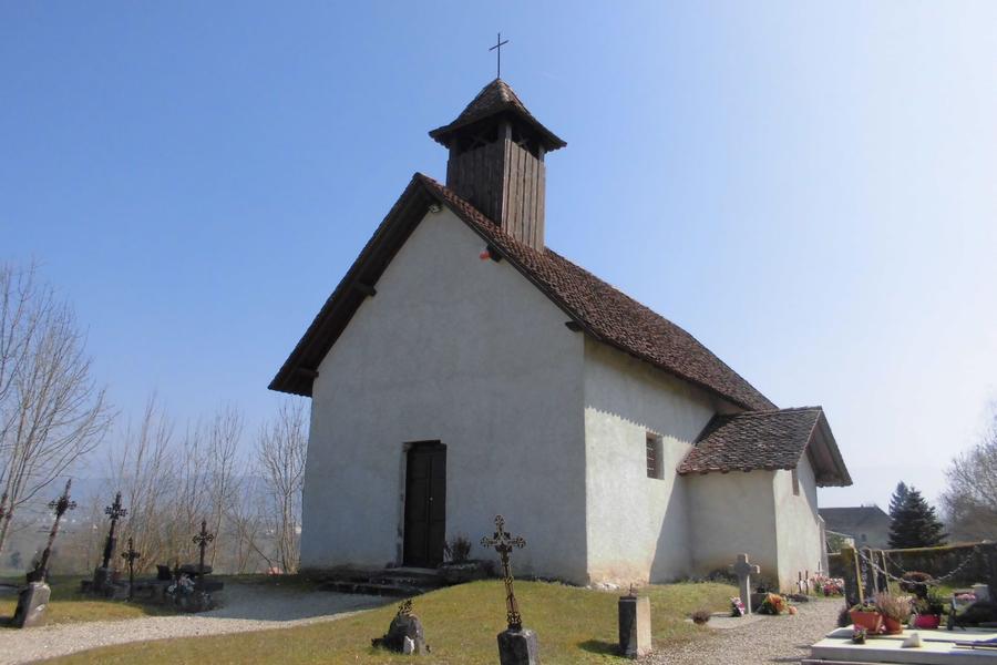
Next, join a wide path surrounded by meadows and small woods that leads to the Guiers stream. Continue towards the chapel of Saint-Hilaire, a listed historic monument.
The hamlet of Les Teppes features features some typically Dauphinois buildings, with adobe walls and gable roofs with pebbled tiles.
Once you reach Le Boutet, take a section of the GR65® route to Santiago de Compostela and head to Bois du Fayet. The route is fairly shaded and once again offers a number of views of the surrounding mountains. Beware of the 200m stretch of the D40 on the return journey.
WAYMARKING AND SIGNPOSTING
Follow the yellow markings and the following junctions:
Chemin d'Avaux > Le Boutet > Bois du Fayet > Chemin d'Avaux > Retour Pré St-Martin
Another possible departure from ROMAGNIEU: Le Château > Le Boutet > > Bois du Fayet > Chemin d'Avaux > Le Boutet > Le Château > Return to Romagnieu
Route details
Pets welcome
Car park
Opening
All year round daily.
Informations to download
Discover more

Go there
Latitude : 45.541189
Longitude : 5.668022
Height : 260
38480 Pont-de-Beauvoisin
Go there
Information updated on 15/04/2026
by Office de Tourisme des Vals du Dauphiné