Blue sporting orienteering course

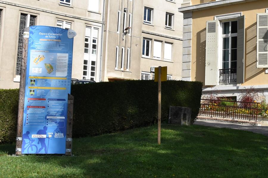
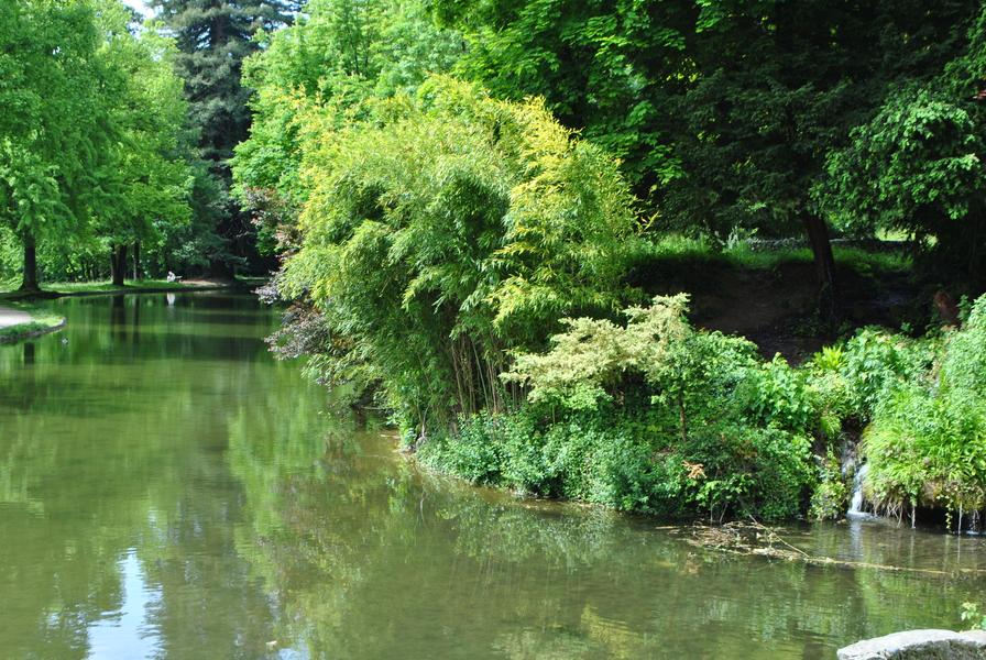
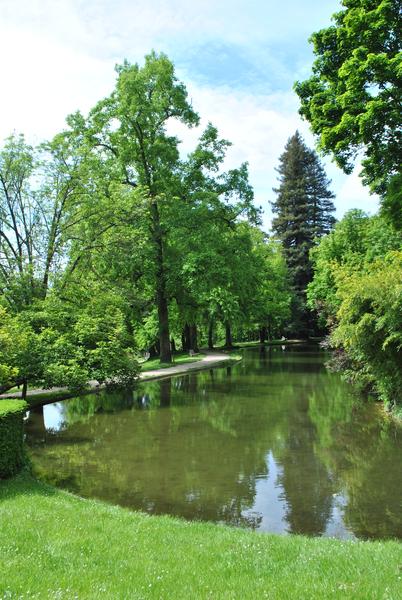
Challenge your friends and family in the Clos des Chartreux park. This medium-level ‘sporting’ orienteering course has 12 markers. Look carefully at the map and around you to succeed. Orienteers, it's up to you!
The aim of the orienteering course is to use natural and man-made features (isolated trees, groves, shelters, steps, etc.) to find the markers symbolised by a red circle on the map.
The route is supported by a PDF document that you can download and print out before setting off. It allows you to punch your map with the red clip at each marker. All the pictograms punched must match those of each marker on your document!
There are 4 different routes in the park, so there are plenty of markers to choose from, so don't make a mistake or you'll have to try your luck again!
These orienteering courses have been developed in partnership with the Comité Départemental des Courses d'Orientation de l'Isère (CDCO 38). To find out about other routes in the region, visit the CDCO website.
Route details
-
Play area,
-
Car park
Opening
All year round daily.
Informations to download
Discover more


Go there
Latitude : 45.302545
Longitude : 5.485478
Clos des Chartreux
38210 Tullins
Go there
Information updated on 24/04/2026
by Office de Tourisme du Pays Voironnais