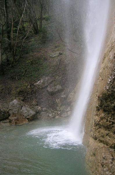
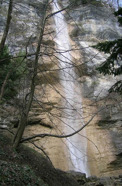
Cascade de l'Enversin
The Enversin waterfall is a short hike that starts in the village of Le Touvet and winds its way through cultural and natural heritage: the Château du Touvet, the Torrent du Bresson and the Enversin waterfall.
Beneath the wall of the Grand Manti, “grand manteau” in local dialect, which reveals its impressive cliffs culminating at 1893 meters high, the Enversin river - which flows down from the Col de Marcieu - joins the imperious Bresson torrent, after a 30-meter drop.
Route details
Opening
All year round daily.
Subject to favorable weather.
Informations to download
Discover more


Go there
Latitude : 45.358854
Longitude : 5.950642
Height : 275
38660 Le Touvet
Go there
Accès sans voiture :
- Depuis Grenoble, prendre la ligne de TER direction Chambéry - Challes les Eaux et s'arêter à Goncelin, puis prendre la ligne 35 direction Cloyeres jusqu'à l'arrêt "Le Touvet, le Saint-Jean".
- Depuis Chambéry, prendre la ligne de TER direction Saint-André-le-Gaz et s'arrêter à Pontcharra-sur-Bréda, et prendre la ligne de bus 75 direction Goncelin Gare jusqu'à l'arrêt "Le Touvet, le Saint-Jean". Possibilité également de prendre la ligne 35 direction Cloyeres.
- Depuis Grenoble et/ou Chambéry, possibilité de prendre la ligne T83 et de s'arrêter à l'arrêt "Grandes Terres", puis marcher environ 7 mn (500 m).
Programmez votre itinéraire sur www.oura.com.
Information updated on 10/04/2026
by Office de Tourisme de Belledonne Chartreuse