Castles and panoramas

A hike on the heights of the Bourbre valley offering stunning views. Heritage sites include Château du Châtelard, Maisons Dauphinoises and Château de Marlieu.
ROUTE
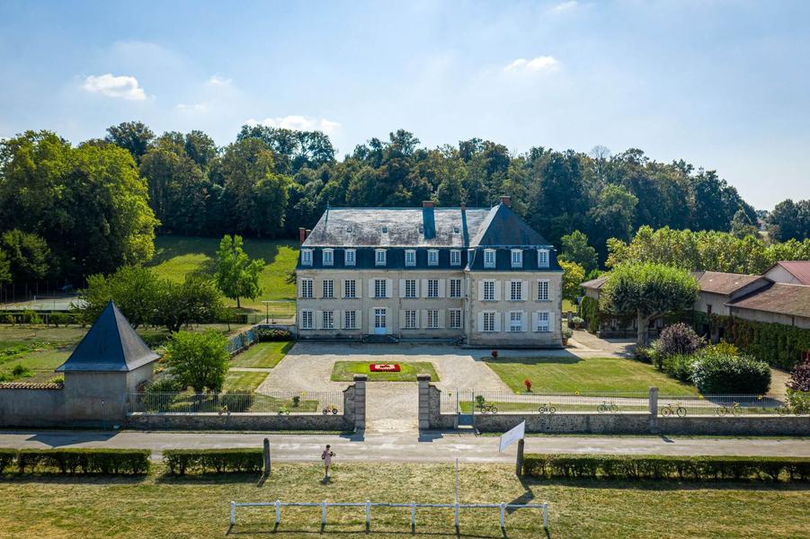
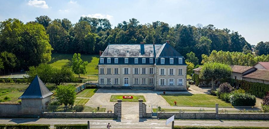
Take a look at the Romanesque church of Sainte-Blandine, then head for the hamlet of Marlieu, with its traditional adobe houses with hipped roofs and pebbled tiles, and its fountains. The castle, built in 1760, is a fine example of classical architecture.
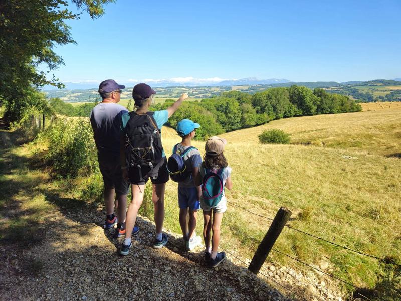
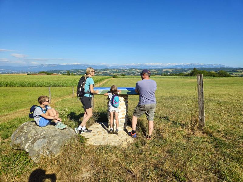
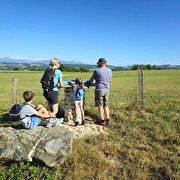
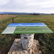
Continue gradually up to Les Arphants, where the scenery opens out onto the surrounding mountains. Follow the path up towards Montagnieu. At Le Mollard des Mottes, you can make a 400m return trip to Cote 568. The viewpoint indicator shows you the landscape like a postcard! From left to right, you can see the Bugey peaks, the Mont du Chat, the Epine range and the Chartreuse mountains. In the background, a view of Mont Blanc on a clear day.
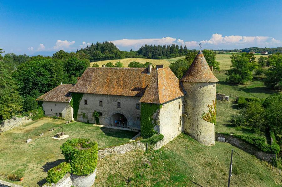
After a beautiful descent, continue on to the Château du Châtelard, whose imposing buildings encircle the square courtyard. Take a final break at the Etang Malin before returning to Sainte-Blandine.
WAYMARKING AND SIGNPOSTING
From the car park, follow the yellow signs and the following crossroads :
Marlieu > Les Arphants > Ravin des Gabelles > Mollard des Mottes > Chemin de Feydel > Le Feydel > Chemin de Lima > Moulin du Cachard > Pont Ste-Marguerite > Marissard > back to SAINTE-BLANDINE
Route details
Pets welcome
Car park
Opening
All year round daily.
Informations to download
Go there
Latitude : 45.546059
Longitude : 5.440331
Height : 450
38110 Sainte-Blandine
Go there
Information updated on 15/04/2026
by Office de Tourisme des Vals du Dauphiné