Chélieu over hills and streams

A beautiful walk with water as a common thread, offering a fairly gentle start before embarking on a beautiful descent through the Gabelles ravine and then a crescendo return through the Combe stream.
ROUTE
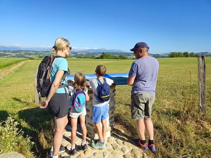
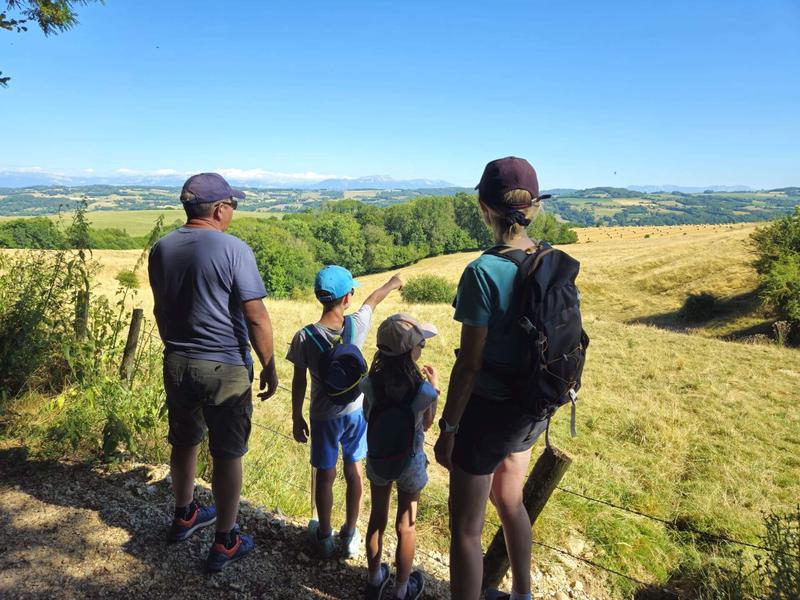
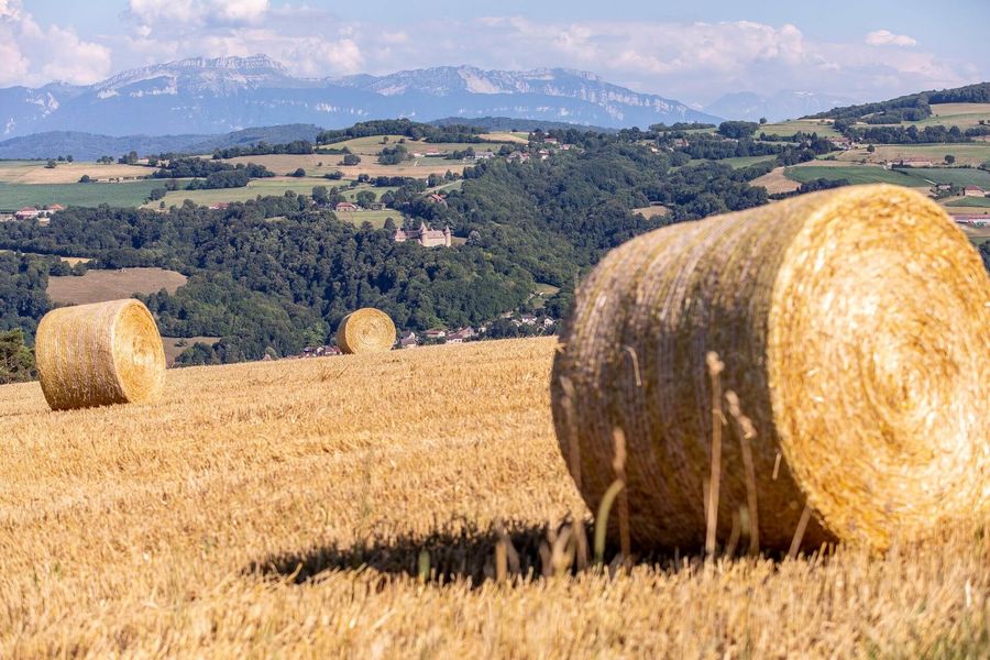
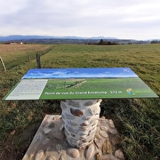
Follow the town hall on your left and climb towards Hauts d'Envelump and Cote 568. Take time to admire the postcard panorama ! An orientation table gives the panorama details. From left to right, you can see the Bugey peaks, the Mont du Chat, the Epine range and the Chartreuse mountains. In the background, you can see Mont Blanc on a clear day.
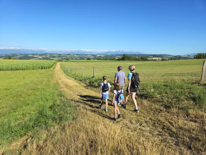
The path on the heights is very pleasant, lined with meadows and farmland. The view remains unobstructed as far as the Ravin des Gabelles before descending into undergrowth, never very far from the stream.
When you reach Lézieu, cross the level crossing and take the path immediately to the left. Watch over the children for the first 200 metres near the tracks.
After La Mollat, the small road and then the track go up through the Sauvagère woods towards Tancin, where you cross a small stream that often dries up in summer.
Turn left onto the woodland track as far as Les Hayes, then walk on the road for the remaining 400 metres to reach the car park.
WAYMARKING AND SIGNPOSTING
From the car park, follow the yellow signs and the following junctions:
Les Hauts d'Envelump > Côte 568 > Mollard des Mottes > Ravin des Gabelles > Lézieu > La Mollat > Tancin > Aux Hayes > Retour Chélieu-Mairie.
Route details
Pets welcome
-
Public WC,
-
Car park
Opening
All year round daily.
Discover more
Go there
Latitude : 45.5106
Longitude : 5.4755
Height : 535
38730 Chélieu
Go there
Information updated on 15/04/2026
by Office de Tourisme des Vals du Dauphiné