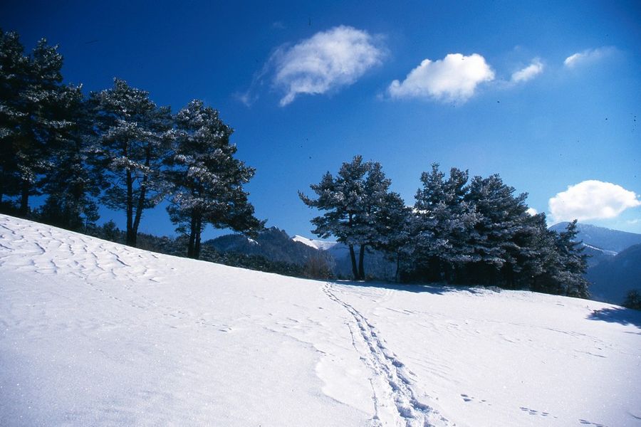
Foyer de ski de Fond de Chichilianne

In the forest or the snow-covered meadows, at the foot of Mont Aiguille or on the Hauts Plateaux (without marked itineraries on the national nature reserve) discover the Chichilianne/ snowshoe itineraries.
Starting point: cross-country ski hostel (Richardière hamlet) or church square in the village.
Departure altitude: 1000 m
Finish altitude: 1250 m
Map reference: Chichilianne snowshoe topo, PNRVercors Vercors-Trièves guidebook.
Signposts, poles, paint markers
Opening
From 15/12 to 15/03 : open daily.
Informations to download
Discover more

Go there
Latitude : 44.822712
Longitude : 5.54728
Height : 994
38930 Chichilianne
Go there
Information updated on 13/01/2026
by Office de Tourisme du Trièves