

Hiking : Le Vallon de La Salette
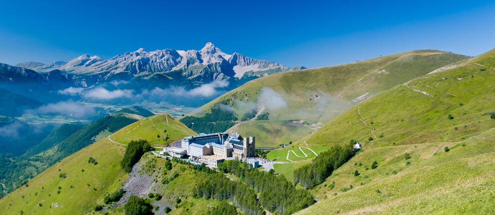
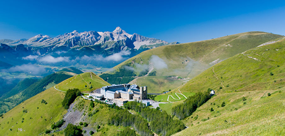
The descent from the sanctuary will allow you to take a look at your entire route, through the hamlets of the valley, then the mountain pastures, and finally, during the ascent, in the large mineral breaks. A demanding but varied itinerary.
Itinerary :
From the large parking lot of the Sanctuary of Notre-Dame de La Salette, head towards Le Serre by taking the GR50 via Planeau, Perlonte, La Sagne, Secheline and Riguet. From Serre, continue on the GR50 towards Col des Vachers via Le Beauchat, Fallavaux and Les Mathieux. At Col des Vachers, leave the GR50 and return to Notre Dame de La Salette via Cabane de La Pale and Col de Pré Clos.
Route details
From the large car park at the Sanctuary of Our Lady of La Salette, head towards Le Serre via the GR50 via La Planeau, Perlonte, La Sagne, Secheline and Riguet. From Serre, continue on the GR50 towards Col des Vachers via Le Beauchat, Fallavaux and Les Mathieux. At Col des Vachers, leave the GR50 and return to Notre Dame de La Salette via Cabane de La Pale and Col de Pré Clos.
Pets welcome
Car park
Opening
All year round daily.
Snow may make it difficult to reach the summit, so check before you leave.
Subject to favorable weather.
More details
Not accessible in a wheelchair
Informations to download
Go there
Latitude : 44.85863
Longitude : 5.978804
Height : 1780
Parking du sanctuaire
38970 La Salette-Fallavaux
Go there
From Grenoble take the A48 motorway, exit 8: direction Gap Briançon Vizille Stations de l’Oisans then the N85 via Vizille - Laffrey or the D529 via La Motte d'Aveillans direction Corps then the D 212c
Information updated on 14/10/2026
by Isère Attractivité