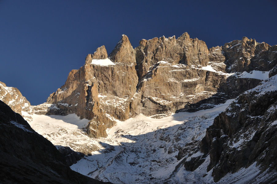
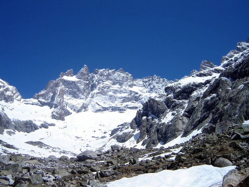
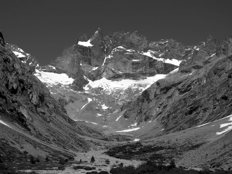
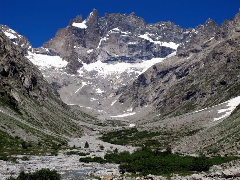
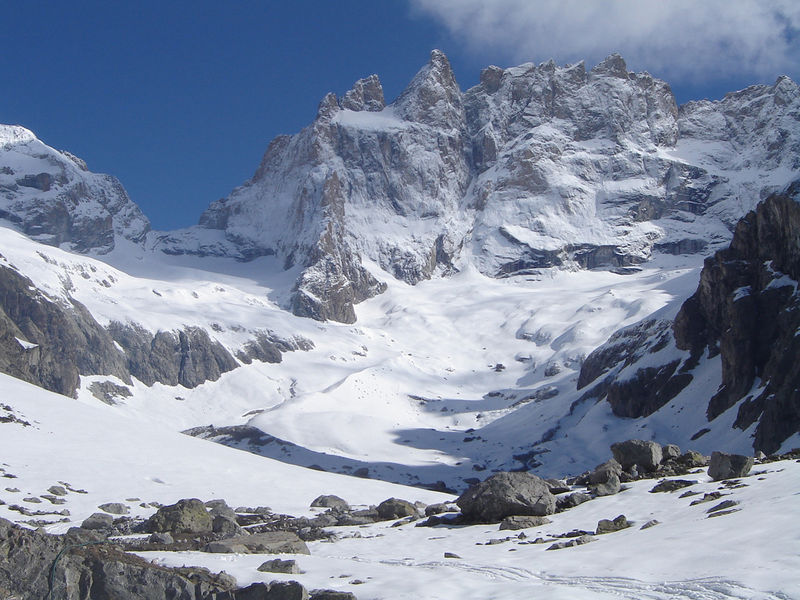
La Meije - south

La Meije is a peak in the Ecrins massif in Oisans, with ridges separating the departments of Isère and Hautes Alpes. Its south-facing slope lies in the commune of Saint Christophe en Oisans, and can be accessed from the upper Vénéon valley.
La Meije is made up of three main peaks:
- Le Grand Pic, culminating at 3983 m (second major summit in the Massif after the Barre des Ecrins at 4102m).
- Le Doigt de Dieu or Pic Central de la Meije (3973 m) overlooking the south face.
- La Meije orientale (3891 m).
The Grand Pic is one of the most difficult summits in the Alps, as there is no easy itinerary. In the history of mountaineering, La Meije occupies a special place: it was the last major Alpine summit to be climbed, and this first ascent was made by a Frenchman, whereas most of the other great firsts were achieved by British mountaineers: Whymper, Coolidge...
For these reasons, and also thanks to the aesthetics of its silhouette, La Meije occupies a special place in the imagination of mountaineers.
The first ascent of the Grand Pic was made on August 16, 1877 by Emmanuel Boileau de Castelnau and his guide Pierre Gaspard from Saint Christophe en Oisans.
They set off from La Bérarde, on the south-facing slope of La Meije, following the Promontoire ridge. They descended the ascent route, abandoning the ropes on some passages.
The first traverse of the Meije ridges was made in an east-west direction (from the Doigt de Dieu to the Grand Pic) on July 27, 1885 by Ludwig Purtscheller, Otto and Emil Zsigmondy. They abseiled and planted pitons from the first tooth to the brêche at the foot of the Grand Pic (today known as the Zsigmondy tooth and brêche). They descended the Promontoire ridge via the dalle des Autrichiens. Emil Zsigmondy fell and was killed a few days later during an attempt on the south face of the ridge. He is buried in the Saint Christophe en Oisans cemetery, next to Ernest Thorant.
In 1891, J-H Gibson, Ulrich Almer and F. Boss made the first traverse of the ridges (in a west-east direction), which today has become the classic route and is considered one of the most beautiful in the Alps.
The Musée Mémoires d'Alpinismes in Saint Christophe en Oisans retraces their adventures on this mythical summit.
Time schedule
From 01/01/26 to 12/31/26
-
Monday :
Open
-
Tuesday :
Open
-
Wednesday :
Open
-
Thursday :
Open
-
Friday :
Open
-
Saturday :
Open
-
Sunday :
Open
-
Jours fériés :
Closed
Prices
Free access.
Go there
Latitude : 45.004981
Longitude : 6.308349
Height : 3983
Go there
Accès depuis Grenoble en direction de Briançon.
4 km après Bourg d'Oisans, prendre à droite en direction de Saint Christophe en Oisans - La Bérarde.
Information updated on 20/03/2026
by Oisans Tourisme