

Le Crey des Vorges
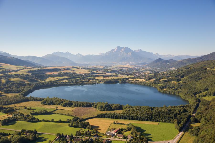
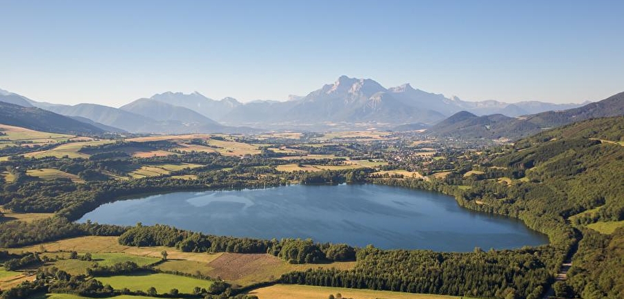
A loop in the forest but offering interesting panoramic views between hill and lake, while crossing typical hamlets of the Plateau Matheysin.
Route details
Departure from Cholonge, car park next to the church, follow the direction of La Mure, passing through Les Vorges, then Les Prés Dessous, Les Troussiers, Sous les Troussiers and l'Orche. Return to Cholonge via Les Grandes Sagnes, Les Théneaux, Champ du lac, La Fayolle and Le Sert de la Croix.
Pets welcome
Car park
Opening
All year round daily.
Subject to favorable weather.
Informations to download
Discover more
Go there
Latitude : 45.002887
Longitude : 5.796147
Height : 1048
38220 Cholonge
Go there
Information updated on 23/10/2026
by Matheysine Tourisme