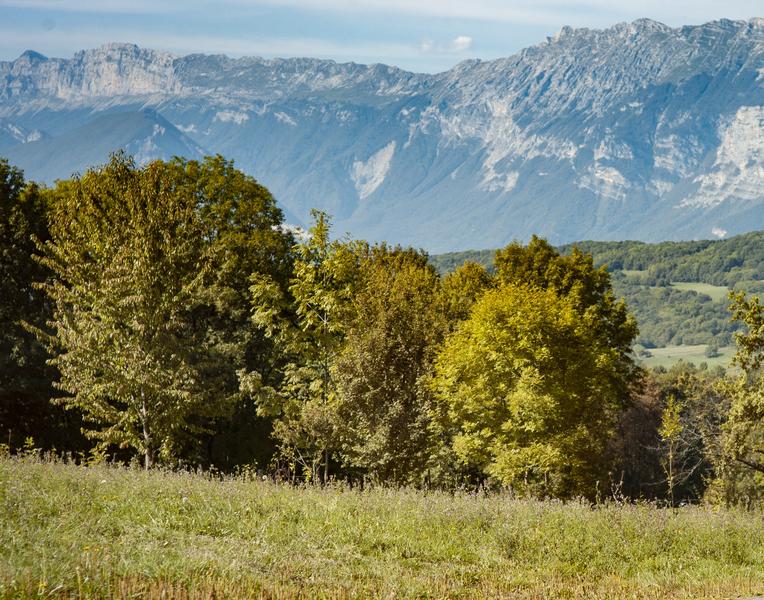
Le sommet de Bellevue depuis Brié-et-Angonnes
Discover the Bellevue belvedere, offering 360° views. It's also the geographical boundary of the 3 communes of Montchaboud,
Jarrie and Brié-et-Angonnes
Route details
Departure from the parking lot behind the Brié-et-Angonnes church on the
route Napoléon. From the parking lot, take the small path towards
towards Chemin Rampaux and turn left to return to the edge of the
the Route Napoléon at the "Brié Bas" signpost. Turn left for
150 m to the "Brié" signpost. Cross the road at chemin
chemin des Grandières and continue towards "Haut Brié". Continue
straight on Chemin des Harmonts towards Montchaboud through the
Bois du Crêt. Follow the track until it ends at Chemin des Fontanettes.
Go down to "Montchaboud" and take the chemin de Saute
to the right just before the wash-house. Follow this path up to "Les Vernes".
Vernes". Continue straight on towards "Bellevue". At the end of the
cross the meadows on the signposted path to Bellevue.
In fine weather, an orientation table will help you identify the surrounding
surrounding peaks. Continue downhill through the meadows to "Rivaux".
"Rivaux", then turn right towards "Haut Brié". Take
left to return to "Brié-et-Angonnes" and to the starting point
by the same route.
-
Free car park,
-
Car park
Opening
All year round daily.
Informations to download
Go there
Latitude : 45.141654
Longitude : 5.768908
38320 Brié-et-Angonnes
Go there
BUS ACCESS: Line 65 "Brié Eglise" stop
Information updated on 06/05/2026
by Office de Tourisme Grenoble Alpes