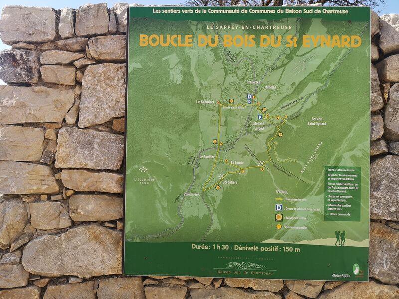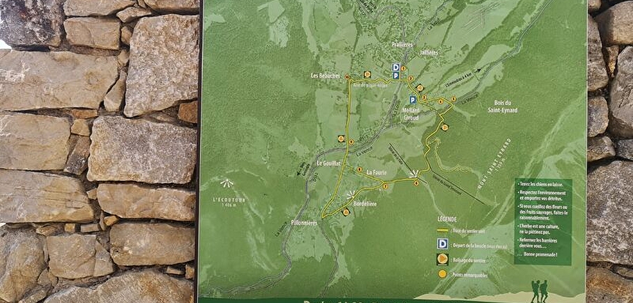
Loop of the Bois du St Eynard
Nice little family loop around the village, with a very nice view on Chamechaude !
Route details
1 - Departure from village square. 12th-century church: polychrome wooden altarpiece (17th century), contemporary stained-glass windows by Arcabas.
2 - Go downhill to the left towards the La Jacobine parking lot, which you pass.
3 - At the Croix du Rocher cross, turn left towards Les Combes.
4 - At the pond, turn right towards Les Fontenettes and La Faurie.
5 - Cross the Vence river, turn right along the path through a spruce forest, then left towards Fort du St Eynard. At the junction, follow the GR 9 up to the right. At the forest acrobatic park, cross the field and head straight ahead towards La Faurie. Pass under the Grand Sommard ski lift. Go through a forest of fir, spruce and beech to the Palle meadow, which you cross.
6 - Panoramic view: l'Ecoutoux, la Pinéa and Chamechaude.
7 - Descend to the hamlet of La Faurie. Continue along the Bordelière hamlet to Pillonières. Follow the road downhill to the right as far as the hamlet of Pillonières, then right again as far as the hamlet of Gouillat.
8 - Ferme de la Faurie (cattle breeding)
9 - At the crossroads with the RD 512, cross the road and head for the picnic area.
10 - At the Beauches hamlet, turn right, cross the picnic area and return to the village center.
-
Pets welcome,
-
Pets supplement
Opening
From 01/05 to 30/11 daily.
Go there
Latitude : 45.259997
Longitude : 5.777473
38700 Le Sappey-en-Chartreuse
Go there
Access without a car: from Grenoble, take the N62 bus towards Sarcenas/Col de Porte, stop at "Le Sappey-en-Chartreuse - Place".
Information: https://www.reso-m.fr/
Information updated on 15/05/2026
by Chartreuse Tourisme