Plan Col hike from Col d'Ornon

In a forest atmosphere, then in a preserved narrow valley at the foot of the Grand Armet, an outing to discover a well-preserved biodiversity.
Altitude climb + : 660 m Climb : 4h00
Start : Moulin Vieux
Difficulty : medium Map: Top 25 IGN 3336OT La Mure - Valbonnais Trail map « Pays du Valbonnais »
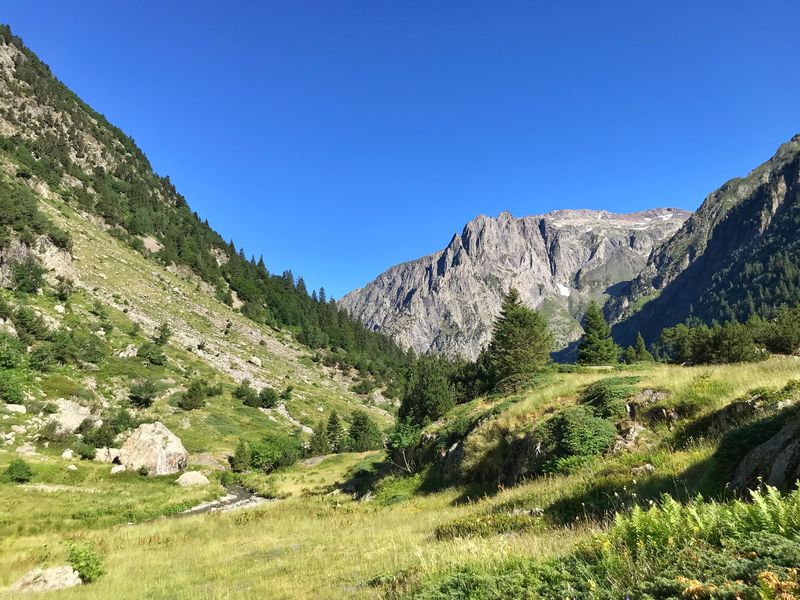
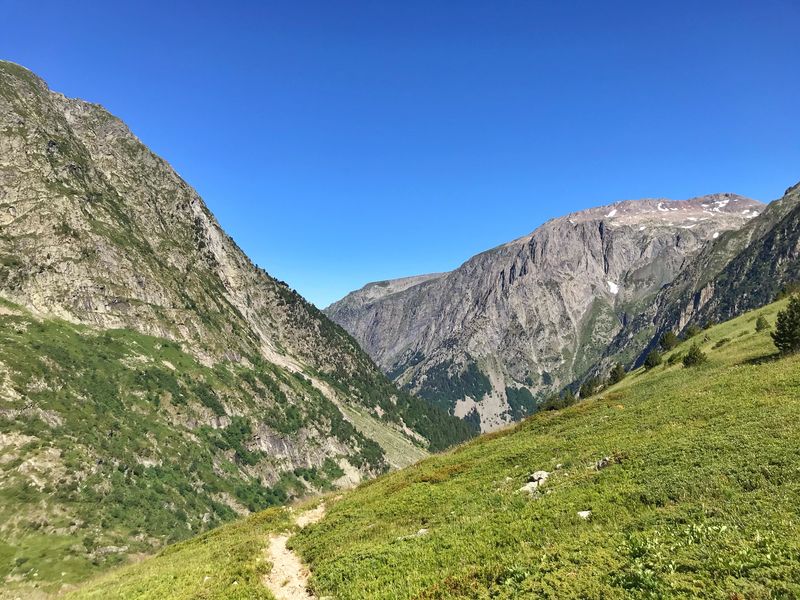
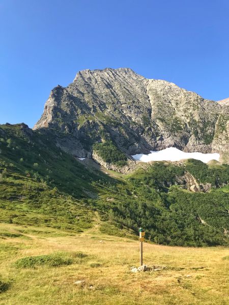
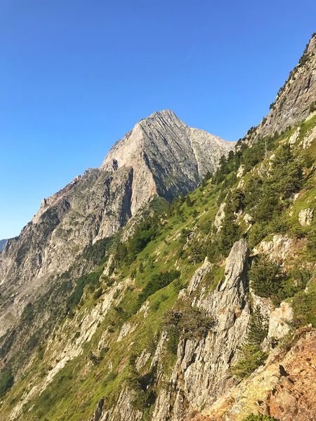
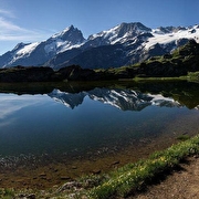
Between the massifs of Taillefer and of the Armet, this hike up the pristine narrow valley of Vaunoire will allow you to observe the vertical zonation of the fauna and the flora (myrtles, deers, groundhogs and chamois). You will also discover the remains of the glacier of Grand Armet. Start from the car park of Vaunoire . Follow the path to Plan Col to the East. After a progressive climb in the forest, you reach the stream of Vaunoire
and cross it a first time over a footbridge. Keep on walking on the left bank (on the right going up) of the stream of Vaunoire . After going under Cabane du Col , ford the stream to start climbing up the winding path and cross the hillside to get to Plan Col .
Route details
Car park
Opening
From 01/01 to 31/12 daily.
More details
Not accessible in a wheelchair
Informations to download
Discover more
Go there
Latitude : 45.009453
Longitude : 5.914823
Height : 1010
38350 Lavaldens
Go there
Information updated on 19/10/2026
by Matheysine Tourisme