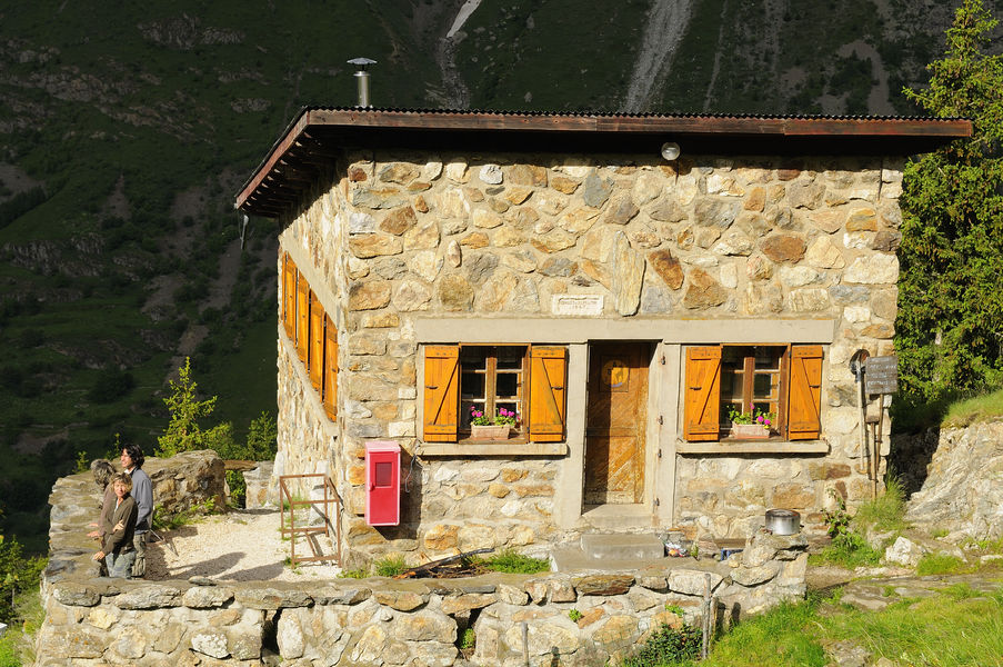
Refuge de l'Alpe du Pin - Hiking from Les Granges

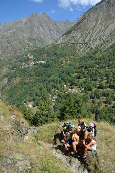
A family hike between pastures and waterfalls that's sure to please.
TECHNICAL INFORMATION
Start: Les Granges 1,300 m
Difference in altitude: 535 m
Round trip time: 3h30
Distance: 4.4 km
Level :
Rando : Medium
ITINERARY
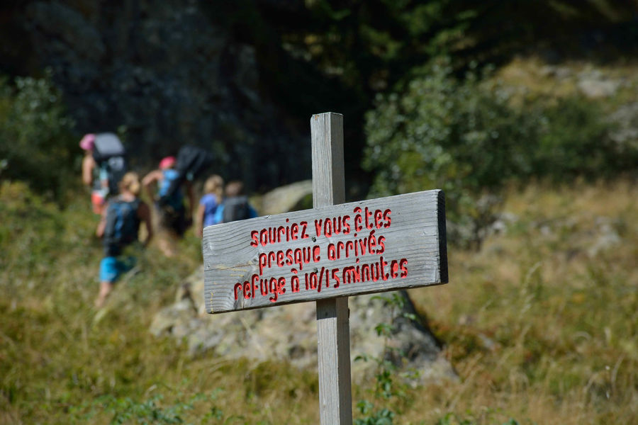
From the parking des granges, take the path down to the turquoise waters of the Vénéon. Cross the bridge and head straight for Alpe du Pin. The climb is steady and you'll be refreshed by the spray from the Froide Pisse waterfall. As you walk, take the time to read the story written on the signs along the way.
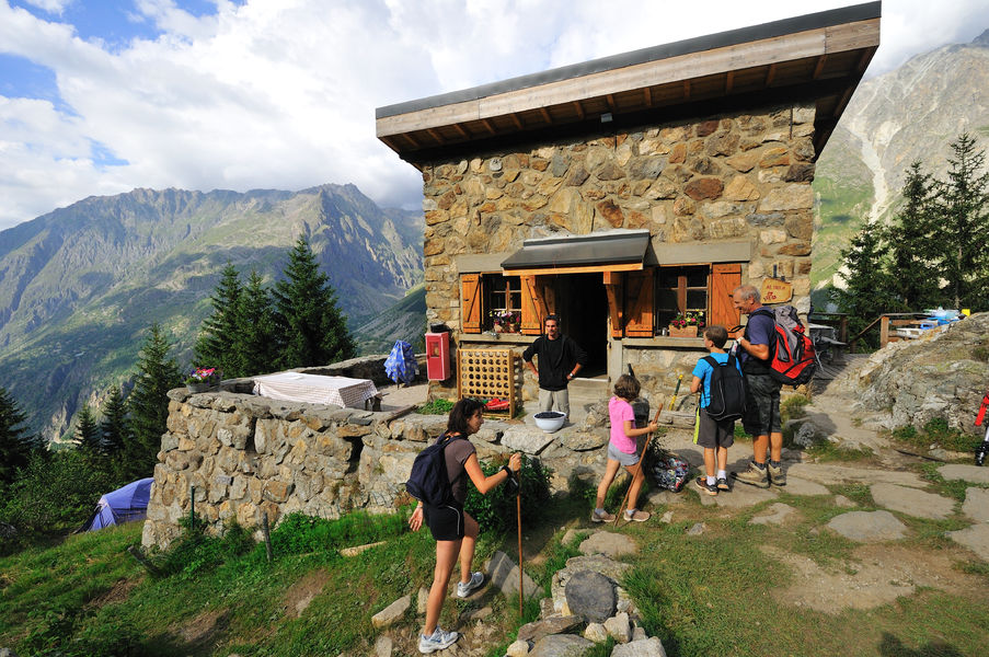
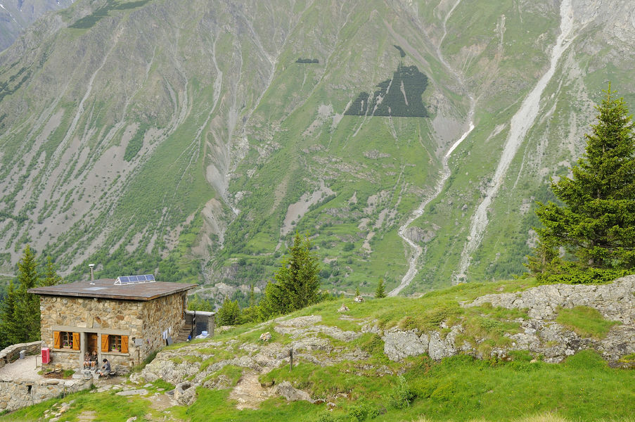
On arrival, discover the stone Alpe du Pin refuge, which overlooks the Vénéon valley from its belvedere.
Built in 1947, the refuge has retained the modesty of its origins over the decades, while reasonably adapting its comfort to today's requirements.
MAPS AND TOPO
OBP map n°5 (on sale at the tourist office): trail n°528
IGN Top 25 map n°3336 ET
Dogs must be kept on a leash due to the presence of herds at certain times of the year.
THINGS TO SEE ALONG THE WAY
- the Froide Pisse waterfall, which rises from the Pierroux glacier beside the Tête de Lauranoure.
- Lauranoure
- the village of Saint-Christophe-en-Oisans
Route details
Pets welcome
Car park
Opening
From 15/05 to 31/10 daily.
Subject to favorable snow and weather conditions.
Informations to download
Discover more

Go there
Latitude : 44.953071
Longitude : 6.176739
Height : 1320
38520 Saint-Christophe-en-Oisans - La Bérarde
Go there
Take the road to the right before arriving at Saint Christophe en Oisans
Information updated on 10/03/2026
by Oisans Tourisme