Route from station to station - La Trans' Vals du Dauphiné

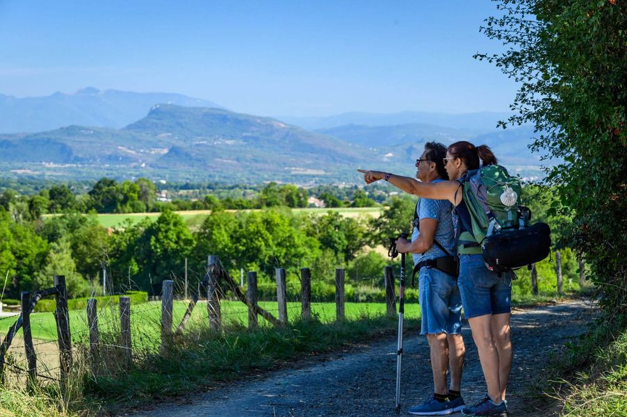
By foot, mountain bikes or horseriding, between two train stations (La Tour du Pin or Le Pont de Beauvoisin.), you will discover the region named Les Vals du Dauphiné, through the small valleys, the panoramas, the local culture and the heritage.
Departure from La Tour du Pin station to Pont de Beauvoisin station (Lyon - Chambéry line).
The route can be done in three stages (shops and accommodation in each stage town):
-La Tour-du-Pin > Val-de-Virieu: 17km - elevation gain: 300m - elevation loss: 215m
-Val-de-Virieu > Les Abrets-en-Dauphiné: 17.8km - elevation gain: 490m - elevation loss: 495m
-Les Abrets-en-Dauphiné > Pont-de-Beauvoisin: 16.5km - elevation gain: 160m - elevation loss: 310m
There is a station at Val-de-Virieu (1km from the town centre) and at Les Abrets-en-Dauphiné (1.5km from the town centre), so you can cover just 1 or 2 stages.
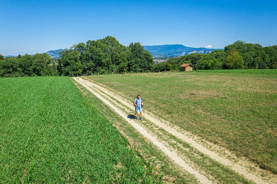
All along the way, you'll enjoy beautiful views of Vercors, Chartreuse, Monts du Chats, Bugey and sometimes Mont-Blanc in the background. Discover a rural area with many hills, some cultivated and some wooded. You are sure to come across many cows grazing in the meadows.
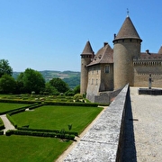
As far as heritage is concerned, take a look at the architecture of Dauphiné houses: often square buildings with adobe walls and a high, four-sided, flaked tile roof. The village of Virieu retains an attractive medieval appearance, with its covered market and castle.
WAYMARKING AND SIGNPOSTING
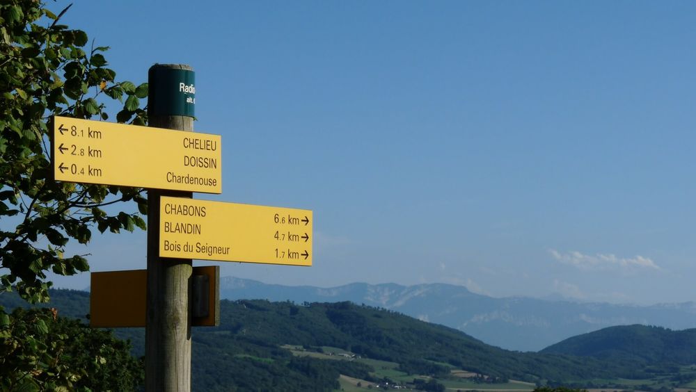
From La Tour du Pin station, follow the yellow signs and the following signposts:
Place du Champ de Mars / Charvin / Château de Pin / la Grisolle/Marlieu/ Les Arphants/ Ravin des Gabelles/ Mollard des Mottes / Cote 568 / Les Hauts d'Envelump / Beauregard / Gare de Virieu sur Bourbre / Virieu/ Le Trêve / Château de Virieu / Les Cardelles / Chubins/ Brézin / Chemin de la Vie / Côte Simandre/ Lambert / Sourilloud / Le Gréhaut / Chemin du lavoir/ Le Brocard/ Jalinières/ Les Allimards/ Château de Juvenin / Les Abrets église / Les Abrets/ La Loue/ Vérou/ Les Perrières/ Pressins/ La Corbière/ La Combe Noire / Les Forêts / Le Menou / Le Grabier/ Gare SNCF de Pont de Beauvoisin.
Route details
-
Pets welcome,
-
Accommodation,
-
Restaurant
-
Free car park,
-
Car park
Opening
All year round daily.
Subject to favorable weather.
Informations to download
Discover more

Go there
Latitude : 45.560698
Longitude : 5.444026
Height : 340
38110 La Tour-du-Pin
Go there
Cette itinérance relie les gares de la Tour-du-Pin à Pont-de-Beauvoisin.
La gare de la Tour-du-Pin est accessible en TER :
-depuis LYON et GRENOBLE via la ligne Lyon-Grenoble (arrêt à la Tour-du-Pin)
-depuis CHAMBERY via la ligne Chambéry-Lyon (arrêt à la Tour-du-Pin)
La gare de Pont-de-Beauvoisin est accessible en TER :
-depuis LYON et CHAMBERY via la ligne Lyon-Chambéry (arrêt à Pont-de-Beauvoisin)
-depuis GRENOBLE via la ligne Grenoble-Lyon (arrêt à La Tour-du-Pin) puis via la ligne Lyon-Chambéry (arrêt à Pont-de-Beauvoisin)
Information updated on 22/10/2026
by Office de Tourisme des Vals du Dauphiné