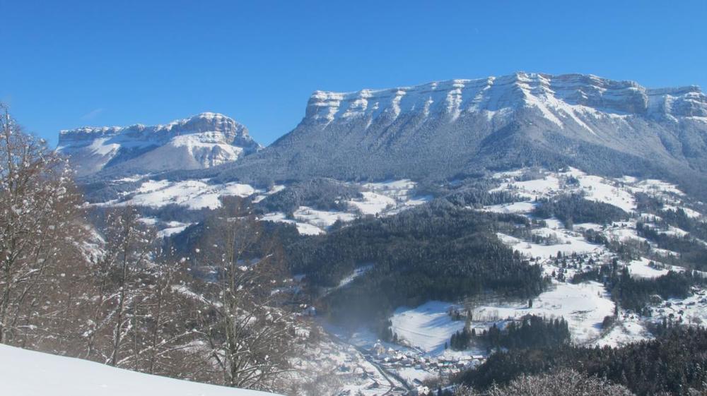
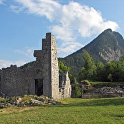
Ruines du Château de Montbel
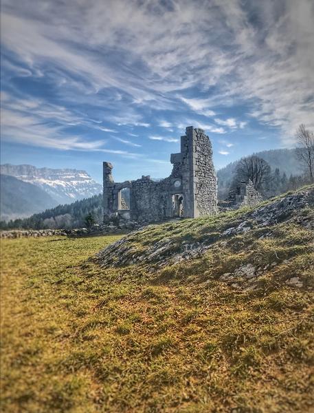
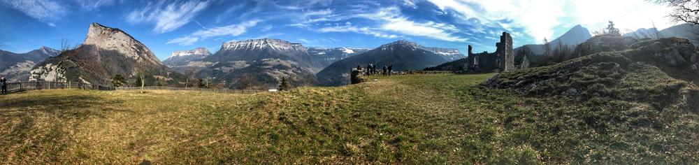
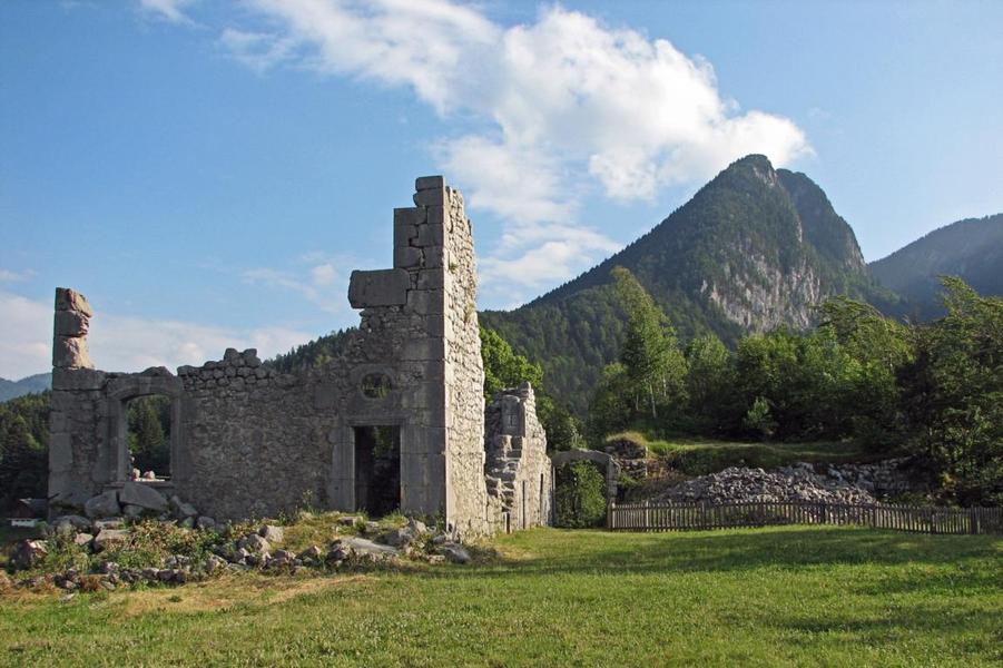
Located uphill above the gorges of frou at 948 meters high, the ruins of the castle are on a long and narrow headland. From it we have a large point of view over the Entremonts and the mountains.
Known as Château de Montbel, the second fief of the Lords of Entremont is also known as Château du Gouvernement.
It was built following the gradual abandonment of the Château d'Entremont-le-Vieux in the early 14th century.
It is a strategic location, with an unobstructed view.
Destroyed in 1633 on the orders of Richelieu, it was bought back in 1694 by the Carthusian monks, who rebuilt it. As a result of the French Revolution, it became government property. Slowly, the château fell into disrepair.
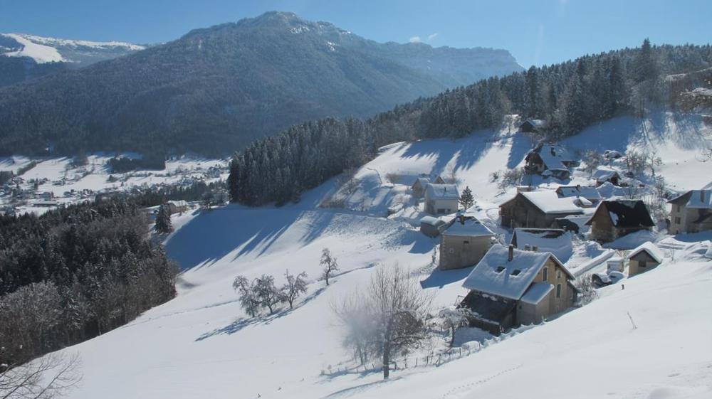
Discover this site on foot, as well as the Noirfont swift, the Buis quarry, the gorges, the Chartreuse habitat, the hamlet of Le Château with its old sawmill and watchwheel... From St Pierre d'Entremont, it's a 3-hour walk.
Good to know
Sketch the mountain on this trail, which is specifically marked out as a "sentier randocroquis". It's accessible to everyone, from beginners to experienced sketchers. At each of the 7 stations, with the help of the Randocroqueur, you'll learn how to create your own drawings on the themes of water, forests and built heritage. Starting from St Pierre d'Entremont, it's a 3-hour walk - with 7 Randocroquis stations, you'll need a good day to draw all the examples on offer.
Practical information
Services
Pets welcome
Theme
-
Historic patrimony,
-
Castle,
-
Ruins and remains
Time schedule
From 01/01/26 to 12/31/26
-
Monday :
Open
-
Tuesday :
Open
-
Wednesday :
Open
-
Thursday :
Open
-
Friday :
Open
-
Saturday :
Open
-
Sunday :
Open
-
Jours fériés :
Closed
Prices
Gratuit
Tips
Sketch the mountain on this trail, which is specifically marked out as a "sentier randocroquis". It's accessible to everyone, from beginners to experienced sketchers. At each of the 7 stations, with the help of the Randocroqueur, you'll learn how to create your own drawings on the themes of water, forests and built heritage. Starting from St Pierre d'Entremont, it's a 3-hour walk - with 7 Randocroquis stations, you'll need a good day to draw all the examples on offer.
See more

Go there
Latitude : 45.413696
Longitude : 5.83756
73670 Saint-Pierre-d'Entremont
Go there
Information updated on 24/09/2026
by Office de Tourisme Coeur de Chartreuse