Sacré-Coeur and hilly meadows

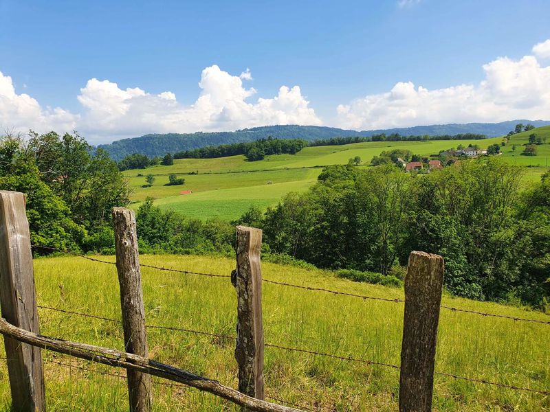
After 2 kilometres climb through the forest, you'll be seduced by the hilly countryside and meadows of St-Martin de Vaulserre. Panoramic views and a change of scenery guaranteed!
ROUTE
Opposite to the hiking trails signpost, turn right and immediately at the junction, go straight ahead. There's a lovely 2km climb through undergrowth. Look out for the Combière waterfall halfway up the slope. Once you reach Le Bapt, the landscape opens up to the Chartreuse and Epine mountains.
After another climb, look down on the bucolic Ainan valley and the Guiers gorges a little further on your left.
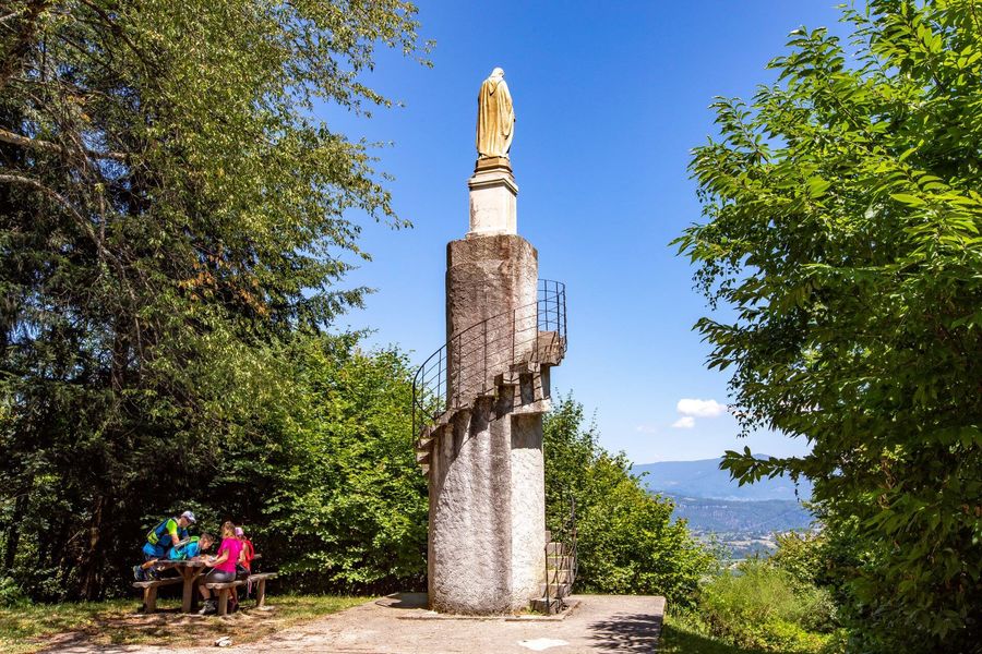
Pass through the hamlet of La Sauge and then follow the meadows where the cows graze. Once in the forest, look out for the Sacré-Coeur site on your left. This statue, erected by parishioners at the end of the 19th century, offers a view over the valley and the Bugey region.
The path along the edge of the forest leads back down to the church, where there is a fresco portraying Saint Martin giving his cape to a beggar.
WAYMARKING AND SIGNPOSTING
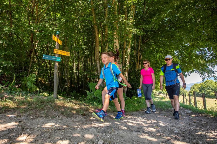
From the car park and the hiking trails departure signpost, follow yellow markings and signposts below:
Le Bapt > Crête de la Sauge > La Sauge > Sacré-Coeur (+ 200m round trip: statue, picnic table and panorama) > L'Antiquaire > Back to SAINT-MARTIN DE VAULSERRE.
Route details
Pets welcome
Car park
Opening
All year round daily.
Informations to download

Go there
Latitude : 45.493537
Longitude : 5.682491
Height : 400
A 50m de la mairie
38480 Saint-Martin-de-Vaulserre
Go there
Information updated on 09/06/2026
by Office de Tourisme des Vals du Dauphiné