Saint-Chef History Trail

Explore the 4 facets of Saint-Chef: the construction of the Abbey at its origins, the Castle and the beginnings of feudalism, the growth of the village, its day-to-day life and traditions, the Chapel and the typical Dauphiné houses.
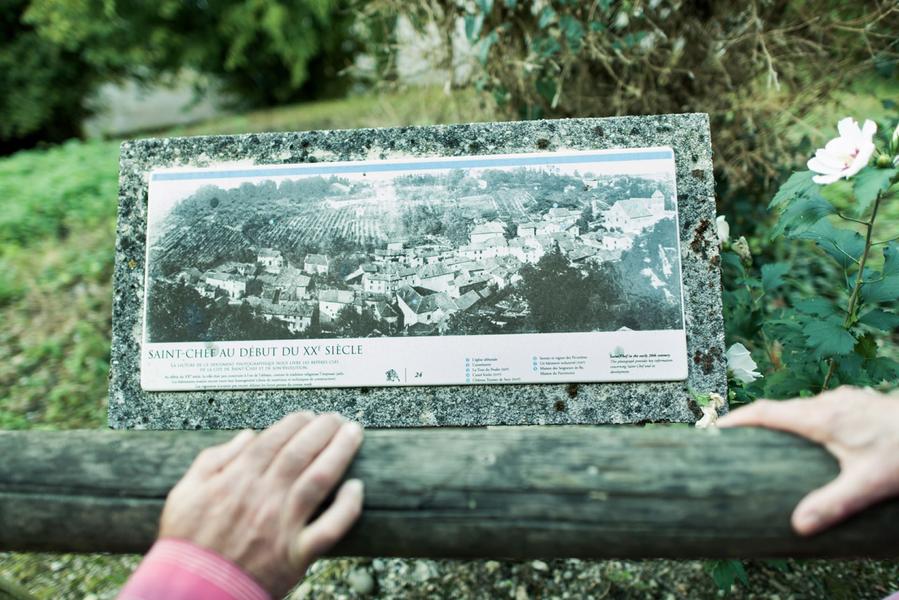
Across 2 hills and 4 different districts, the Saint-Chef history trail features 25 information panels covering nearly 15 centuries of history. They tell many a story about:
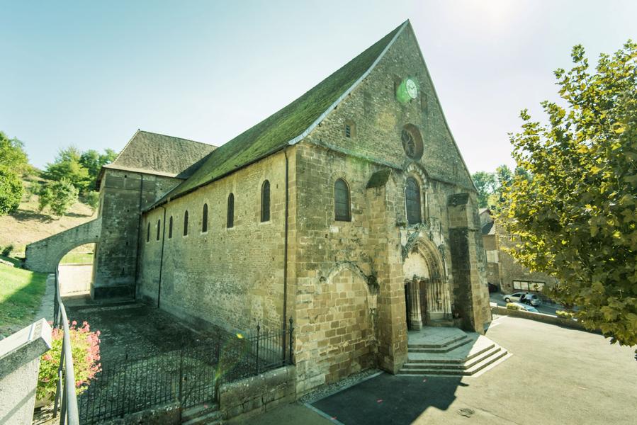
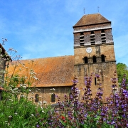
- the Abbey: the village's origins, the chapterhouses, the abbatial church, the baptismal fonts, the Romanesque frescoes, Saint-Theudère chapel, the workroom, the sacristy, the monks' cemetery, the canonical quarters and the sacristan house,
- the Castle district (Les Pointières),
- the Village itself: industrial buildings, the old vicarage and Val Rupéen sector,
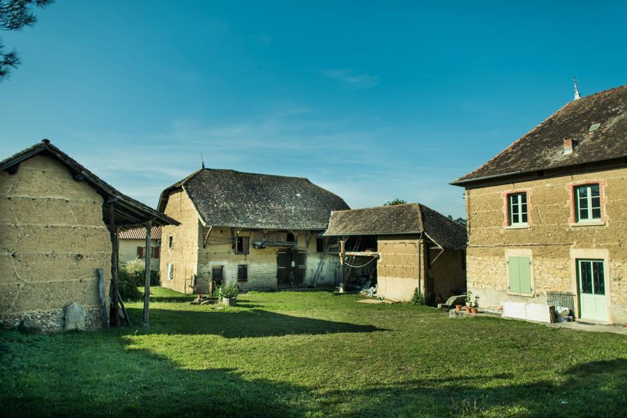
- the Chapel district: the tobacco sheds, the earth buildings, the Dauphiné farmhouses built from rammed earth and the traditional houses,
- the house of Seigneur de By.
Route details
-
Pets welcome,
-
Motorhomes allowed
-
Picnic area,
-
Public WC,
-
Car park
Opening
All year round.
More details
Not accessible in a wheelchair
Informations to download
Discover more


Information updated on 22/10/2024
by Office du Tourisme Les Balcons du Dauphiné