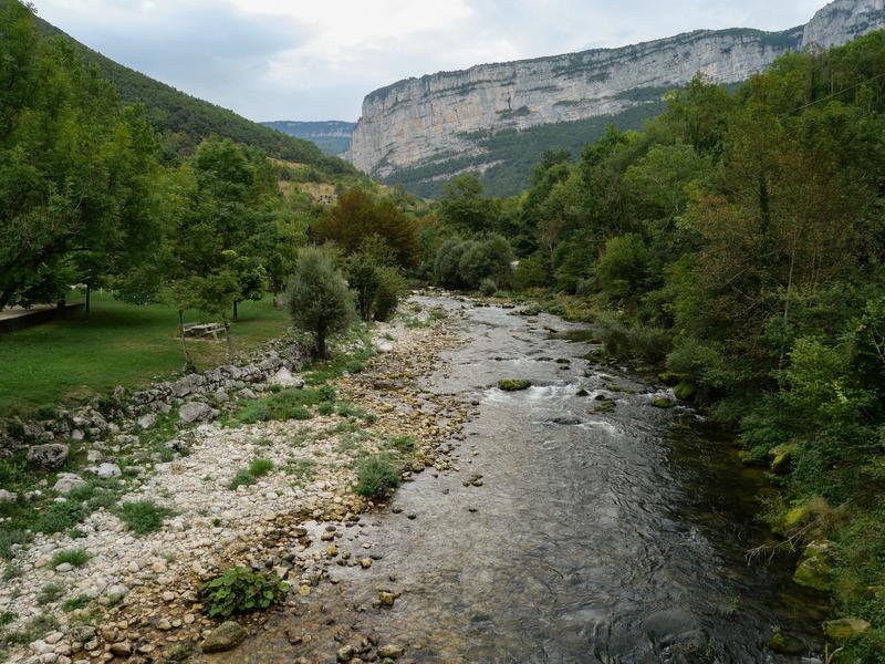
Sentier Au fil de la Bourne

The Au Fil de la Bourne trail offers 2 or 3 days of hiking, starting from its confluence with the Isère, to discover the landscapes near and far along the course of this river, between plain and mountain plateau.
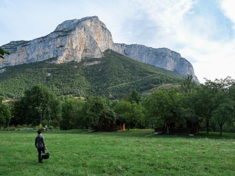
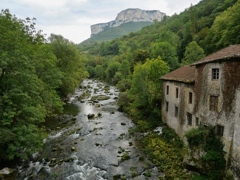
The Bourne is the main river in the Vercors landscape and the first river in the massif to have sculpted the land and forced mankind to adapt to its presence. Man has built numerous facilities to occupy the land and take advantage of the presence of water (a driving force and abundant water supply for an agricultural plain).
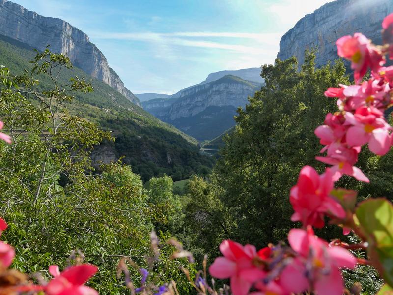
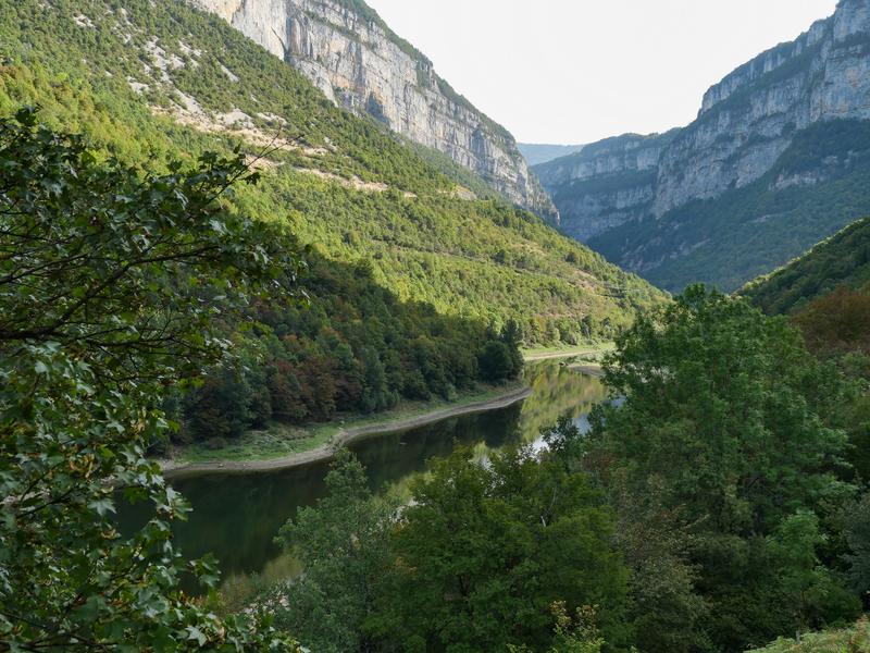
Along the way, you'll discover the challenges of the past and the future in terms of continuous adaptation, from man-made structures (aqueduct, Himalayan footbridge, suspended houses, ancient corbelled road) to those created by nature itself (Choranche caves, Bournillon cirque, Bourne gorges). The route is punctuated by numerous viewpoints, offering moments of relaxation and contemplation... or the opportunity to buy a snack from a local producer.
The trail is designed for families and experienced hikers alike, who can build their own circuit thanks to the hundreds of kilometers of marked paths connected to the trail.
Accessible by train, bike or car, it's an opportunity to (re) discover the riches of a mid-mountain region.
Route details
Opening
All year round daily.
Informations to download
Discover more
-
Royans-Vercors paddle steamer
Place: Saint-Nazaire-en-Royans

-
Hôtel du Musée de l'Eau
Place: Pont-en-Royans

-
Restaurant du Musée de l'Eau
Place: Pont-en-Royans

-
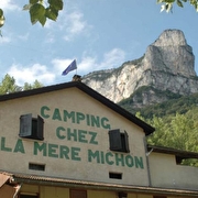
Camping Chez la Mère Michon
Place: Châtelus
-
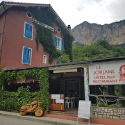
Le Jorjane
Place: Choranche
-
La Ferme du Clos
Place: Châtelus
-
La Ferme du Clos
Place: Châtelus

-
La Ferme du Clos
Place: Châtelus
Réservable
en ligne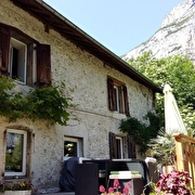
-
La Ferme du Clos | Chalet 1
Place: Châtelus
Réservable
en ligne
-
La Ferme du Clos | Chalet 2
Place: Châtelus
Réservable
en ligne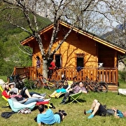
Go there
Latitude : 45.060175
Longitude : 5.246456
Height : 179
26190 Saint-Nazaire-en-Royans
Go there
Information updated on 11/06/2026
by Office de Tourisme Vercors Drôme