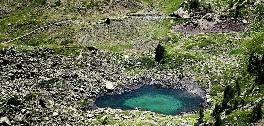
Small lakes at Col de l'Infernet
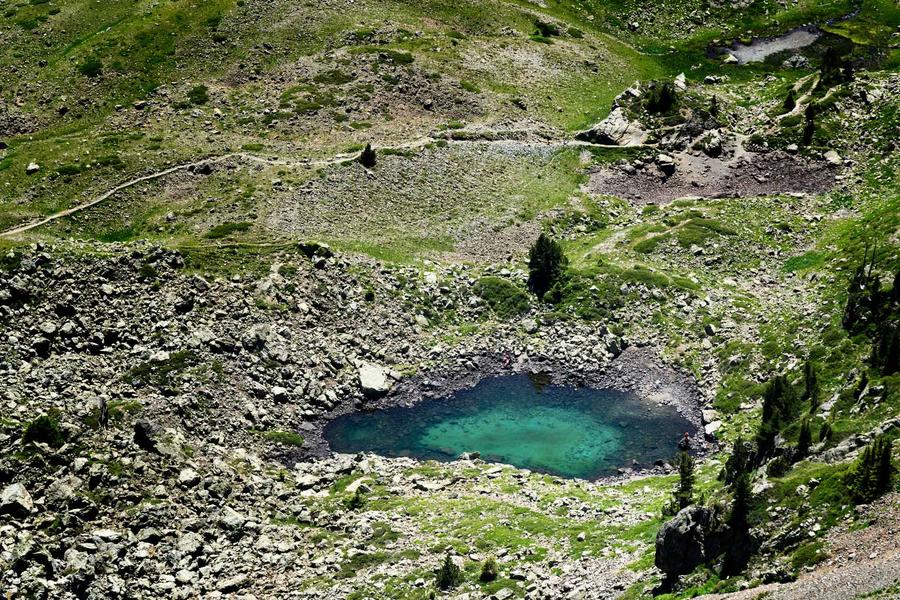
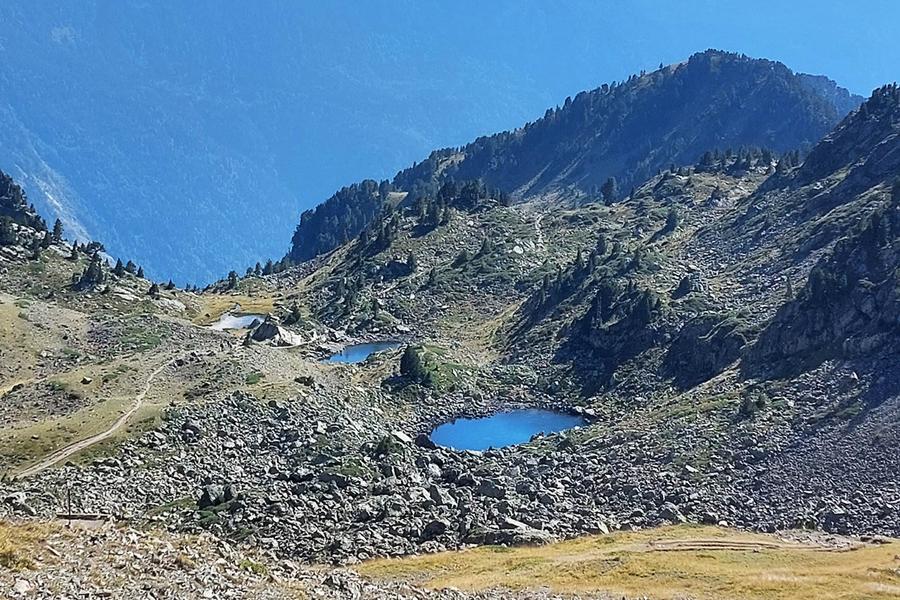
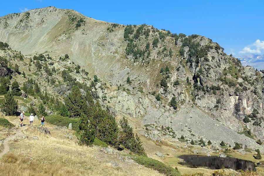
A series of small, confidential high-altitude lakes to discover on a hike between Lac Achard and Croix de Chamrousse (via the Col de la Botte), near the Col de l'Infernet.
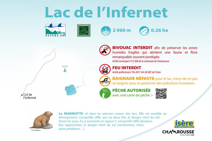
Infernet lake: altitude 2060 m, surface area 0.26 hectares (2600 m2).
These are protected areas within the Natura 2000 site "Sud Belledonne" - I11 Cembraie, pelouses, lacs et tourbières de Belledonne, de Chamrousse au Grand Colon. Fires prohibited, fishing authorized with a fishing permit (Infernet lake). Bivouacs are authorized from sunset to sunrise, from 7pm to 9am (except from May 1 to October 31) by municipal by-law.
Please note: in winter, they are covered with snow.
Practical information
Services
Pets welcome
Time schedule
From 01/01/26 to 12/31/26
-
Monday :
Open
-
Tuesday :
Open
-
Wednesday :
Open
-
Thursday :
Open
-
Friday :
Open
-
Saturday :
Open
-
Sunday :
Open
-
Jours fériés :
Closed
Prices
Free access.
See more

Go there
Latitude : 45.120215
Longitude : 5.908367
38410 Chamrousse
Go there
From Grenoble: car or bus (+ cable car ascent) + hike.
Resort road access from Grenoble: Rocade Sud > exit no. 2 "Uriage" > Route départementale 111 (RD 111) Seiglières side for Chamrousse 1650 - Recoin (gondola) or Luitel side for Chamrousse 1750 - Roche Béranger (hike).
Public transport :
- regular bus service all year round: N93 (to/from Grenoble), stop "Chamrousse 1650" or "Chamrousse 1750" (merger of former T87, Transaltitude, Destination neige Skibus / nature Estibus 707)
- transport by reservation on weekdays excluding public holidays: Flexo 57 (to/from Uriage), stop "Chamrousse 1650 - Le Recoin" or "Chamrousse 1750 - Roche Béranger" (former TAD TouGo - line G701)
- resort shuttle in winter and summer: "Télécabine (1650)" or "Centre Commercial (1750)" stop (to/from other resort hubs and Chamrousse 1600 - plateau de l'Arselle/nordic area).
Information updated on 13/04/2026
by Office du Tourisme de Chamrousse